
 E-Paper



After days, nights also getting warmer in Chandigarh
With a fresh Western Disturbance predicted for the weekend, night temperature can rise further in the coming days


A couple of days after the maximum temperature breached 30° C for the first time this season, nights have also begun to get warmer. Minimum temperature rose by 8°C over the last week, according to the India Meteorological Department (IMD). With a fresh Western Disturbance predicted for the weekend, night temperature can rise further in the coming days.
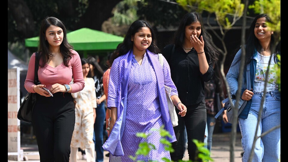
The night temperature went up from 17.7°C on Thursday to a season-high of 19.4°C on Friday, 3.1 degrees above normal. The increase was attributed to the Western Disturbance active on March 20, when the mercury read 13.3°C. The weather system had also brought trace rain to the city on Friday.
IMD Chandigarh director AK Singh said, “With arrival of Western Disturbance, cloudy skies make nights warmer as the clouds act like a blanket and keep minimum temperature from falling too low. Even after it passes, the night temperature is expected to rise due to the change in season.”
According to the forecast, cloudy weather will prevail on Saturday amid the fresh Western Disturbance and there are chances of light rain in the city on Sunday. While weather is expected to clear out by Monday, another Western Disturbance will affect the city from Tuesday evening. While it is too soon to say whether there will be any rain, cloudy skies are expected, IMD said.
Though the day temperature is unlikely to fall further immediately, the cloudy skies will keep night temperature above average. The maximum temperature also rose from 26.9°C on Thursday to 29.9°C on Friday, still 0.1 degrees below normal.
In the next three days, the maximum temperature will remain between 30°C and 32°C, while the minimum temperature will hover around 17°C.