
 E-Paper



Cold wave grips Chandigarh for second day in row
Even as the minimum temperature rose slightly from 7.2°C on Monday to 7.6°C on Tuesday, it was still 4.9 degrees below normal


After the minimum temperature fell to a five-year low on Monday, the minimum temperature remained below normal on Tuesday as well, leading to cold wave conditions for the second straight day.
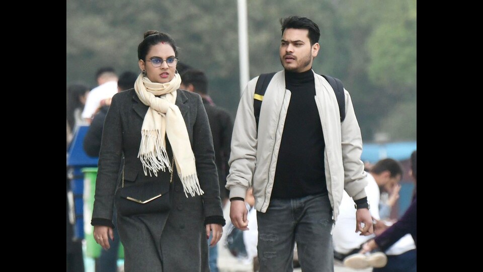
Even as the minimum temperature rose slightly from 7.2°C on Monday to 7.6°C on Tuesday, it was still 4.9 degrees below normal.
As per the India Meteorological Department (IMD), for this region, a cold wave is declared when the minimum temperature is below 10°C, and falls between 4.5 and 6.4 degrees below normal.
The maximum temperature decreased from 21.8°C on Monday to 19.7°C on Tuesday, 5.4 degrees below normal. As per IMD, this is classified as cold day, when the maximum temperature falls between 4.5 and 6.4 degrees below normal, and the minimum temperature drops below 10°C. Both cold day and cold wave conditions were earlier reported in January.
The day temperature of the city was also comparable with some hill stations in Himachal Pradesh, with the maximum temperature in Solan at 18.5°C, Dharamshala at 15.1°C and Shimla at 13.3°C.
Speaking about the occurrence of cold wave and cold day conditions in March, scientist at IMD Chandigarh, Shivinder Singh said, “While data for when this last happened isn’t readily available, cold waves and cold days are rare in March, as the minimum temperature doesn’t fall below 10°C often in this month.”
The minimum temperature had not dropped below 10°C in March since 2019, due to which there were no cold waves in the city in this month at least in the previous five years.
However, he added that such temperatures were expected after the recent active Western Disturbance that led to snowfall in Himachal Pradesh and Kashmir. Cold winds from there led to the drop in temperature in Chandigarh and will keep temperature below normal in the coming days as well. A WD is currently active in the region, which led to cloudy weather on Tuesday while chances of cloudy weather will continue on Wednesday as well. Over the next three days, the maximum temperature will remain between 22°C and 24°C, and the minimum temperature between 9°C and 10°C.