
 E-Paper



Rain, thunderstorm predicted for northwest India till Saturday
A Western Disturbance is lying as a cyclonic circulation over north Pakistan. A fresh Western Disturbance as a trough in mid and upper tropospheric westerlies is likely to affect the Western Himalayan region and adjoining northwest India from today


Light rain and thunderstorm is likely over many parts of northwest India till Saturday, according to India Meteorological Department (IMD).
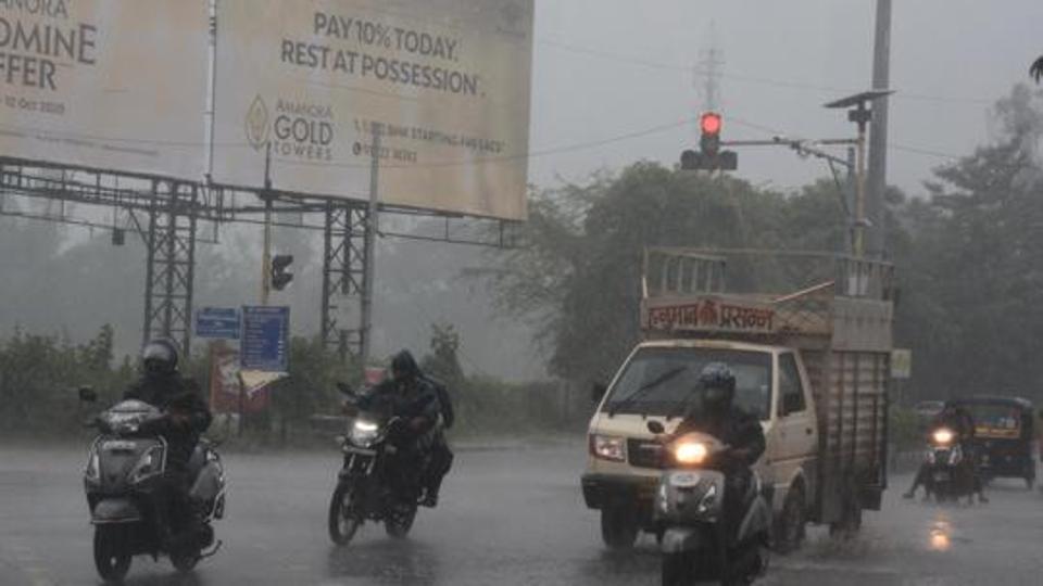
A Western Disturbance (WD) is lying as a cyclonic circulation over north Pakistan. A fresh Western Disturbance as a trough (area of low pressure) in mid and upper tropospheric westerlies is likely to affect the Western Himalayan region and adjoining northwest India from today.
Another fresh Western Disturbance, in quick succession, is likely to affect the Western Himalayan region from March 13, IMD said in its bulletin.
Also Read | SC seeks Centre’s detailed report on environmental regulator committee
Under the influence of these WDs, scattered to widespread rainfall or snowfall is likely over Jammu & Kashmir, Ladakh, Gilgit-Baltistan & Muzaffarabad, Himachal Pradesh and Uttarakhand and isolated to scattered rainfall over Punjab, Haryana, Chandigarh, Delhi, Rajasthan and Uttar Pradesh during March 10 to 13; scattered to fairly widespread rainfall is likely over Western Himalayan region on March 14.
Thunderstorm, lightning, or gusty winds (speed reaching 30-40 kmph), or hail are predicted over the above sub-divisions during the same period.
Due to a confluence of easterlies and westerlies and area of low pressure, rainfall with thunderstorm or lightning is likely over Madhya Pradesh, Chhattisgarh, Vidarbha during March 11 to 13 and over Jharkhand and Bihar on March 12 and 13. Isolated hailstorm also likely over Madhya Pradesh and Chhattisgarh on March 12.
The maximum temperatures are 2-5 degrees C above normal over most parts of northwest, west, central and east India except Bihar and near normal over rest of the country.