
 E-Paper



To sustain walkability, city needs indigenous approach to mapping
In a city as vast and spread out as the National Capital Region, even the locals feel lost and befuddled occasionally.


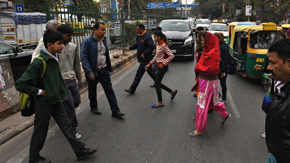
Accessing the city by foot pleasantly and conveniently is facilitated as much by knowledge of the streets and locations and by safe and traversable walkways. Familiarity with the city becomes inseparable from the sense of belonging citizens feel for their city. In a city as vast and spread out as the National Capital Region, even the locals feel lost and befuddled occasionally. Whereas adoption of online mapping on mobile platforms, such as Google Maps, has proven extremely effective in getting people from one location to another, they have done little to aid familiarity with the city. We find ourselves unable to remember the route for a second time having followed the turn-by-turn instructions on the apps earlier. We forget to note what makes the city and its specific sites distinct while we are focused on not missing the next turn.
Ideas of the elements and features that make cities memorable and beloved have been written about in the 60s by American planner Kevin Lynch in his book, ‘The Image of the City’. The same author also coined the term ‘wayfinding’ with reference to cities.
In 2015, we created the city’s first Integrated Public Transit Map displaying key 100 bus routes (selected on basis of the buses’ frequency) along with metro routes. The map received the support of the Delhi Tourism and Transport Development Corporation, and five thousand free copies were distributed at Bus Terminals and Tourist Offices. The Transit Map served not just as a tangible device that visualised the spread and density of public transit routes in the city; it was also meant to become a mental diagram that made the city’s structure intelligible to citizens and tourists. Like the London Tube Map or the New York subway map, it permitted the city to be remembered simply, as a diagram, providing a valuable cognitive image.
Later in 2018, we prepared two pilot projects at the IIT and Delhi Sachivalaya bus queue shelters for the Delhi Government’s Transport Department to track the efficiency and outreach of transit and pedestrian maps within the city. Our findings have given us keen insights about how people in our cities read maps.
In the lead-up to the 2012 Olympic Games, the city of London had launched an extensive campaign called ‘Legible London’ to make a way-finding system for the city. Its creators claimed Legible London has since “developed into an on-street pedestrian system with over 500 signs, a suite of printed, walking maps for retail, tourism and business activities, digital maps, smartphone apps, integrated public transport information and a unique walking identity for London”.
We feel a project to make the city walkable must also have a component that makes the city legible through maps—allowing access to the city while increasing its imageability and cognition. For this, however, it may not be enough to adopt graphical systems utilised by other cities. The lessons from our pilot project revealed that an information-rich map might be as cryptic to the uninitiated as a vast and undifferentiated city. The maps that are the most popular in our country are the ones on the back of wedding invites which are neither to scale, nor aesthetic. Therefore, we need to devise an indigenous approach to mapping and legibility that utilises elements of pictography and storytelling that convey the distinctive character of the place. Making maps and graphics simple and fun must take priority over making them comprehensive. Their design and location within the city need to develop simultaneously with the planning exercise for making cities walkable and safe. While charting streets and walkable zones, it would not only become a ‘user manual’ of the streets for pedestrians but also provide the city with the much-needed branding.