
 E-Paper



Cyclone Tauktae: Chandigarh to feel the impact too
The IMD has issued an orange alert for Tuesday, Wednesday and Thursday for heavy rain and thunderstorms with gusty winds up to 50km/hr

 Prefer HTon Google


The ripples of the Cyclone Tauktae, which is expected to hit Gujarat on Monday night, will be felt in the city with light rain up to 20mm likely on Tuesday, and moderate to heavy rain between 30mm and 70mm on Wednesday and Thursday, as per the India Meteorological Department (IMD).
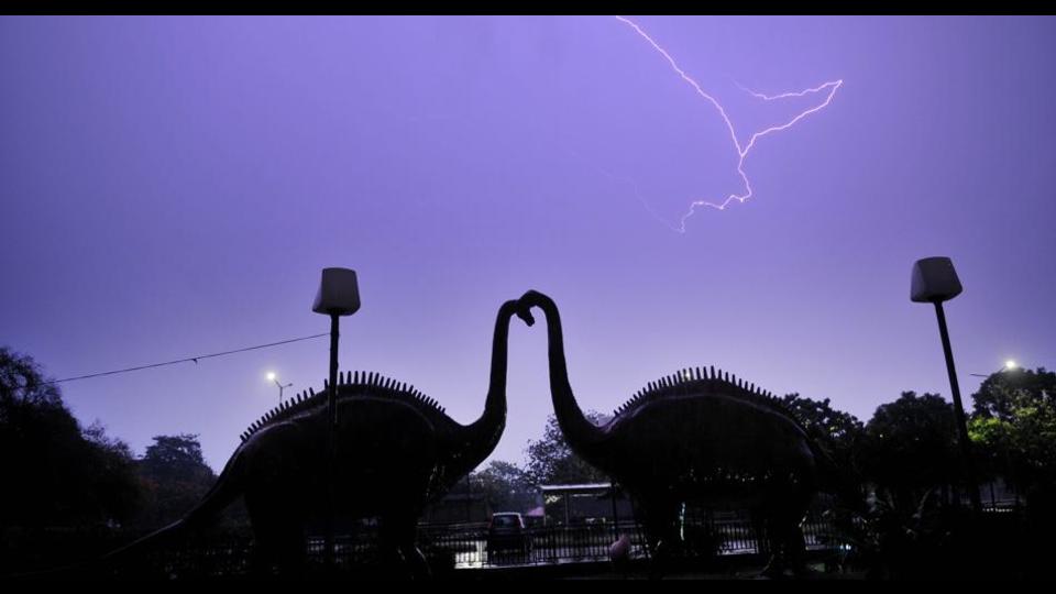
The IMD has issued an orange alert for Tuesday, Wednesday and Thursday for heavy rain and thunderstorms with gusty winds upto 50km/h. On Tuesday, the disturbance in weather is likely to start from the southern parts of Haryana and move towards Chandigarh. Orange is the second highest alert issued by the IMD, asking people to be prepared.
Speaking about this, IMD scientist Shivinder Singh said, “Though the cyclone will break once it hits the coast of Gujarat, the circulations in the atmosphere will continue to move northwards owing to pressure differences. The winds, however, will be reduced in speed and are likely to go up to 50km/h. The activity will remain active in the city till Thursday and we can expect dry weather again from Friday onwards.”
Sharp decline in temperature likely
The maximum temperature is likely to remain around 27°C on Wednesday and Thursday. Even on Monday, the maximum temperature is likely to stay around 35°C due to cloudy weather and light rain of upto 20mm. The temperature will, however, start rising again from Friday onwards.
The maximum temperature in the city went up from 39°C on Sunday to 40.7°C on Monday. The minimum temperature went up from 21.6°C on Sunday to 22.6°C on Monday. In the next three days, the maximum temperature is likely to remain between 35°C and 27°C, while the minimum temperature will remain between 22°C and 20°C.
High western disturbance activity in city this year
Besides the cyclone, the region has also seen higher than average activity of western disturbances for this season. Speaking about this, IMD Chandigarh director AK Singh said, “What’s interesting is how these systems came one after the other in the past few days, which doesn’t happen around this time. We have had about six western disturbances affecting the region this year in April and May. Last year the number was around three.”
Singh added that unlike the Indian monsoon, western disturbances are harder to predict: “They arise primarily due to temperature differences between the Arctic latitudes and the temperature latitudes. More such systems are expected in the season.”


