
 E-Paper



Heavy rain, snowfall in J&K, Ladakh, Himachal over next three days
IMD issues "orange" alert for heavy rain and snowfall in Jammu and Kashmir, Ladakh, and Himachal Pradesh due to intense western disturbance.

 Prefer HTon Google


The India Meteorological Department (IMD) on Saturday issued an “orange” alert, warning of heavy rain and snowfall in parts of Jammu and Kashmir, Ladakh and Himachal Pradesh over the next two to three days due to an intense western disturbance.
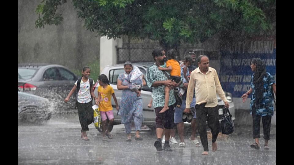
This is the first intense western disturbance of the season and will influence northwest and central India till October 17, the MeT department said.
Western disturbances are weather systems that originate in the Mediterranean region and bring unseasonal rainfall to northwest India.
On Saturday, rains lashed parts of Jammu and Kashmir and the higher reaches received light snowfall.
MeT’s J&K office director Sonum Lotus said that from October 15 to October 17, widespread intermittent light to moderate rain and snowfall over higher reaches was very likely in J&K, with main activity on October 15 and 16. He added that a significant drop in temperatures was also likely.
The MeT has urged farmers to postpone harvesting of crops from Saturday to Wednesday.
“The precipitation may temporarily disrupt transportation, especially at vulnerable places like Zojila, Mughal Road, Sinthan top and Sadna Top,” the MeT update said.
Punjab may also experience heavy rainfall on Monday under the influence of the western disturbance. Thunderstorms and lightning are predicted in parts of Jammu and Kashmir, Ladakh, Himachal Pradesh, Uttarakhand, west Uttar Pradesh, Punjab, Haryana, Delhi and Rajasthan during this period.
A cyclonic circulation has developed over central Pakistan and neighbouring regions under the influence of the western disturbance. It is likely to intensify further with the possibility of merging with a fresh western disturbance on October 15, the IMD said.
This system is expected to receive moisture from the Arabian Sea, leading to an increase in rainfall intensity and distribution over northwest India during the same period.
Dry northwesterly winds from the Himalayas are likely to prevail over northwest India in lower tropospheric levels after the passage of the western disturbance. As a result, temperatures are likely to fall by two to four notches from October 17 over the region.The IMD uses four colour codes for weather warnings -- green (no action needed), yellow (watch and stay updated), orange (be prepared) and red (take action).
With inputs from agencies


