
 E-Paper



GMDA to use drone surveillance for traffic management
The Gurugram Metropolitan Development Authority (GMDA) will start using drone technology for traffic management in Gurugram after conducting a survey of locations in the city, which report maximum traffic congestion or accidents

 Prefer HTon Google


The Gurugram Metropolitan Development Authority (GMDA) will start using drone technology for traffic management in Gurugram after conducting a survey of locations in the city, which report maximum traffic congestion or accidents. The survey is likely to begin with a week, said officials in the know of the matter.
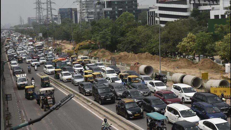
GMDA officials said they plan to use drone technology due to issues in traffic management and increasing number of vehicles flouting norms, especially in the areas which are not under any surveillance system.
Officials said demonstrations will be given by different companies before finalising the features required to interpret traffic violations and mapping of vehicles on the road.
Dr Sultan Singh, head of Geographic Information System (GIS) at the GMDA, and a senior scientist at the Haryana Space Applications Centre, said they are exploring the idea of checking traffic violations and traffic congestion with the help of drone technology and have invited a few companies to run trials.
“Based on the results, we will finalise the project with government-owned Drone Imaging and Information Systems of Haryana (DRIISHYA) based in Karnal. We will involve GIS professionals and experts in imaging, image processing, surveying, data processing and application development to run this project,” he said.
Singh added drones and unmanned aerial systems have emerged as a cost-effective medium for imaging and location-based geographical information collection, which on processing can facilitate quick-decision making for support systems of governance.
“The images and raw information collected will be processed at a data processing, applications and management centre and will be linked with the Integrated Command and Control Centre (ICCC) in Sector 44. The drone will also have a feature, where it will capture the vehicle registration number plate and send a challan to those violating traffic rules online,” said Singh.
Officials said commuters are cautious at the junctions, which are under surveillance, but tend to violate rules in other areas such as jumping red lights, over speeding and rash driving. “Once the drone technology starts working in Gurugram, it will improve the traffic situation across the city,” said Singh.
The Geographic Information System (GIS) division has also explored the possibility of monitoring traffic on heavily congested routes via drone surveillance. The information will be passed to traffic officials and check posts, who can dispatch teams to decongest the stretches and in case of any crisis.
Ravinder Singh Tomar, deputy commissioner of police (traffic), said drones will help control lane driving, which is a major challenge. “We can also monitor speeding and traffic congestion with the help of the new technology. This will help us to inform teams so that alternative routes can be planned and the traffic situation can be managed timely,” he said.


