Lucknow’s growth story is set to be planned beyond the city’s boundaries, with the proposed Uttar Pradesh State Capital Region (UP SCR) crossing its first major hurdle on Tuesday as its review committee approved the base map for the six-district region. The UPSCR, comprising Lucknow, Sitapur, Unnao, Hardoi, Barabanki and Rae Bareli and spanning 26,741 sq km, will now move towards a GIS-based regional master plan to coordinate urban expansion, infrastructure and economic development.
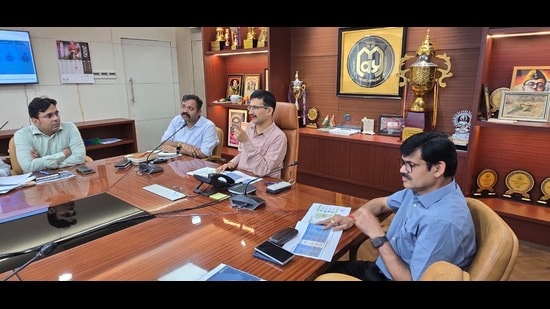
The decision was taken at a meeting chaired by Lucknow divisional commissioner Vijay Vishwas Pant at the Lucknow Development Authority’s (LDA) Parijat auditorium. The base map will now be placed before the UPSCR executive committee, after which work on the regional master plan will begin.
The latest development follows the state government’s move in May to identify major projects for the region and seek comments from departments before preparing detailed implementation plans.
A meeting chaired by chief secretary SP Goyal at Lok Bhavan focused on 29 proposed projects covering transport, infrastructure, economy and tourism. The project list has since expanded to 30 initiatives, according to LDA vice-chairman Prathamesh Kumar.
Focus shifts from isolated projects to regional connectivity
The proposed infrastructure aims to create an integrated network rather than development centred solely on Lucknow. Key transport proposals include the State Capital Mala regional road network, elevated peripheral roads and road-upgradation works. Plans also include a Transport Nagar, orbital rail corridor and expansion of the metro network to meet the region’s long-term mobility requirements.
On the economic front, the blueprint includes industrial development, logistics parks, food parks and corridor-oriented development along the Lucknow-Kanpur Expressway. Kumar said the projects were identified after assessing the region’s future development requirements.
{{/usCountry}}On the economic front, the blueprint includes industrial development, logistics parks, food parks and corridor-oriented development along the Lucknow-Kanpur Expressway. Kumar said the projects were identified after assessing the region’s future development requirements.
{{/usCountry}}The base map’s accuracy was assessed through an extensive field-verification exercise. Ground-truthing was carried out at 2,239 locations across the six districts, with consultants and officials comparing satellite imagery and map-based information with actual ground conditions.
The exercise followed consultations with 22 departments and agencies, including development authorities, revenue, public works, railways, forest, municipal, irrigation and town and country planning authorities.
Officials said the exercise was intended to ensure the regional planning framework was based on verified ground data rather than satellite imagery alone.
Blueprint seeks to spread growth beyond Lucknow
The broader objective of the UP SCR is to create a larger economic and urban growth zone capable of attracting investment and generating employment and business opportunities across the region.
Officials said coordinated infrastructure could also help extend urban amenities to rural areas and enable residents to access jobs, businesses and essential services closer to their home districts. The regional approach is also aimed at addressing uneven development around the state capital and reducing dependence on Lucknow for employment and services.
Better inter-district connectivity, officials said, could reduce the need for migration to the capital. The next phase involves the executive committee considering the base map, followed by preparation of the regional plan, which will provide the framework for future development and infrastructure projects across the UP SCR.