
 E-Paper



Maha to see significant rise in rainfall activity from Sep 13
An orange alert has been issued for Raigad, the ghats of Satara, Sangli, Dharashiv and Latur on September 13; and for Raigad, Ratnagiri and the ghats of Pune district on September 14.


PUNE: Following a prolonged dry spell since late August, Pune is set to receive rainfall September 13 onwards with the India Meteorological Department (IMD) forecasting a significant rise in rainfall activity across Maharashtra, and issuing orange and yellow alerts for many regions.
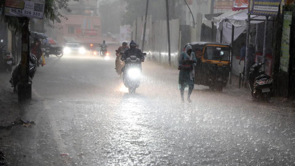
Pune has been in a subdued phase of the monsoon for weeks with below-normal level rainfall recorded in August. Despite earlier predictions of good September rainfall, the first 10 days of the month have passed with little rainfall activity, barring a few spells in parts of Marathwada. However, the development of new weather systems has revived hopes of widespread showers across Maharashtra.
S D Sanap, senior meteorologist at IMD Pune, said, “The formation of a low-pressure area and its westward movement will enhance rainfall activity in Maharashtra. For Pune, light to moderate rain is expected from September 13 onwards, and a yellow alert has been issued for the city. The forecast will be updated if significant changes are observed in the coming days.”
An orange alert has been issued for Raigad, the ghats of Satara, Sangli, Dharashiv and Latur on September 13; and for Raigad, Ratnagiri and the ghats of Pune district on September 14. While warnings have been issued up to September 15, weather experts suggest that wet conditions may persist across Maharashtra, including Pune, at least till the first week of October. As per the Regional Meteorological Centre, Mumbai, a yellow alert has been issued for central Maharashtra, Vidarbha, Marathwada and parts of Konkan for the next 48 hours, predicting moderate to heavy rain.
As per the IMD bulletin issued on Thursday, September 11, an upper-air cyclonic circulation is currently positioned over south Odisha and adjoining north coastal Andhra Pradesh, extending from the lower to middle tropospheric levels with a southward tilt. Under its influence, a low-pressure area is likely to form over west-central Bay of Bengal near the north Andhra Pradesh–south Odisha coast within the next two days.
Meanwhile, the monsoon trough is lying slightly north of its normal position at the western end, while the eastern end remains near its usual alignment. Additional active systems include a cyclonic circulation over sub-Himalayan West Bengal and Sikkim, another over central Assam, and a trough extending from sub-Himalayan West Bengal to the Bay of Bengal. In northern India, a western disturbance is active as a cyclonic circulation over Himachal Pradesh and nearby regions.
Monsoon withdrawal likely to begin soon
Ten days into September and discussion is rife among weather scientists and enthusiasts about the onset of the southwest monsoon’s withdrawal phase this year. According to some, the process may be delayed due to possible La Niña conditions and a negative Indian Ocean Dipole. However, the India Meteorological Department (IMD) in its bulletin issued on September 11 has dismissed such possibilities. The bulletin states that conditions are expected to turn favourable for the withdrawal of the southwest monsoon from parts of northwest India by the end of this week.


