A low-pressure area was on Sunday formed over the south-east Arabian Sea adjoining Lakshadweep that could stall the monsoon advancement a day after it hit Kerala, the India Meteorological Department (IMD) said.
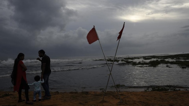
It is likely to intensify into a depression in the next two days over south-east and adjoining east-central Arabian Sea. Thereafter, it is likely to move north-northwestwards and intensify into a cyclonic storm after a day, the IMD said.
The low pressure area is likely to sap moisture and stall monsoon advancement to the rest of Peninsular India in the next week. Farmers in parts of Karnataka, Tamil Nadu, Andhra Pradesh, and Telangana will have to delay sowing to factor in the slowdown in monsoon advancement.
“If the low-pressure system moves north-westwards, then the monsoon will weaken. In that case, delay in sowing is advisable. If there is no rain after sowing, then the seeds will go bad. Dry crops like sorghum can be sown if there is a forecast for rain in the next couple of days after sowing,” said IMD’s senior scientist K K Singh.
Under the influence of this low-pressure system, IMD is expecting strong winds gusting to 55 kmph over south-east and adjoining Lakshadweep, east-central Arabian Sea, Kerala, and Karnataka coasts till June 10.
{{/usCountry}}Under the influence of this low-pressure system, IMD is expecting strong winds gusting to 55 kmph over south-east and adjoining Lakshadweep, east-central Arabian Sea, Kerala, and Karnataka coasts till June 10.
{{/usCountry}}Sea conditions are likely to be rough and fishermen have been advised against venturing into the sea in these areas.
Wind speed is likely to increase gradually and become squally gusting to 75 kmph over east-central and adjoining south-east Arabian Sea on June 11.
“The wind speed is very likely to increase further becoming gale wind gusting to 90 kmph over east-central and adjoining northeast Arabian Sea on June 12 and become 90-100 kmph gusting to 110 kmph over north Arabian Sea on June 13,” an IMD update said.
Sea is likely to be very rough near Gujarat and Maharashtra coasts on June 12 and 13 and fishermen in these states have been cautioned against venturing into the sea.
“When there is wind flow from the southern hemisphere during monsoon towards the north, sometimes there is cyclonic vorticity [rotational winds]. The current low-pressure area is a result of that. Due to its advancement north north-westwards, monsoon advancement will be retarded. It may revive gradually only after the system fizzles out completely,” said Sunita Devi, another senior scientist at IMD.
Over the next one day, conditions are favourable for monsoon advance into remaining parts of South Arabian Sea, Lakshadweep, Kerala, parts of Tamil Nadu and northeastern states, according to IMD.
After monsoon hit Kerala on Saturday, many parts of the state and Lakshadweep received good rainfall. Alappuzha in Kerala, for example, received over 7 mm rainfall.