In a first, the Maharashtra government launched a mobile application on World Wetland Day (February 2) to monitor the destruction of wetlands across the state.
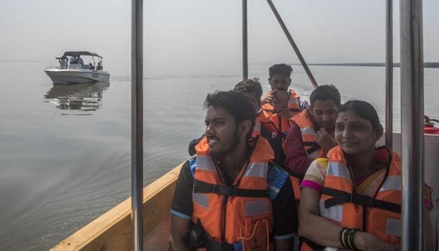
To start with, the app will be used only by government officials. “This is an in-house application developed by our department and will be functional within the next seven days,” said Satish Gavai, additional chief secretary, state environment department. The government, however, plans to release the app to the public in the future, after some modifications.
Officials from the state environment department and Ahmedabad-based Space Application Centre (SAC), which is under the Indian Space Research Organisation (ISRO), have identified around 32,000 wetlands across Maharashtra — a drop from the 44,714 estimated in the national wetland atlas developed by the Union environment ministry in 2011. Government officials will use the app to monitor these wetlands, to prevent their further destruction.
“We have taken data from SAC and mapped it on the map of the state. As per the new data, the state has 32,000 wetland sites. Officials from each district have been given login ids to use the app, and they have to visit the wetland sites in their jurisdiction using the app regularly and monitor them,” said Gavai. “Officials will also have to submit reports on the status of each of their sites, and flag those sites that need to be restored.”
{{/usCountry}}“We have taken data from SAC and mapped it on the map of the state. As per the new data, the state has 32,000 wetland sites. Officials from each district have been given login ids to use the app, and they have to visit the wetland sites in their jurisdiction using the app regularly and monitor them,” said Gavai. “Officials will also have to submit reports on the status of each of their sites, and flag those sites that need to be restored.”
{{/usCountry}}Officers deputed to monitor such matters in every district will be trained to use the app. “Over the next three months, we will make modifications to the app to include data on floral and faunal species at wetland sites as well,” Gavai said. “Botany colleges from each of these districts will assist the local administration in creating a consolidated list of the species found in the wetlands.”
Gavai said that once the species list is finalised and information on each of the wetlands is ready, the department will release the app to the public.
Experts said the app would be useful in protecting the wetlands from further destruction. “No other state has introduced such a technology to track wetlands. Some of these spots are in remote places and cannot be accessed by foot. Satellite images from the app can be used to keep a close watch on these sites, reduce their destruction, and restore them wherever they are damaged,” said Arvind Untawale, executive secretary, Mangrove Society of India. “The app will be of particular importance for the Mumbai Metropolitan Region, which sees the maximum cases of wetland destruction.”
Officials from the Bombay Natural History Society (BNHS) said a checklist of species of birds would be of great help. “Based on the data, we can then identify the more important bird areas in the state and suggest Ramsar sites [a wetland site designated of international importance] for better protection,” said a senior BNHS official, who did not wish to be named.
Stay updated with all the Breaking News and Latest News from Mumbai. Click here for comprehensive coverage of top Cities including Bengaluru, Delhi, Hyderabad, and more across India along with Stay informed on the latest happenings in World News.
Stay updated with all the Breaking News and Latest News from Mumbai. Click here for comprehensive coverage of top Cities including Bengaluru, Delhi, Hyderabad, and more across India along with Stay informed on the latest happenings in World News.