
 E-Paper



Weather Bee: By June 3, NE states got more than 15 days worth of rain in just five
With the very early arrival of the monsoon, it is natural that the rain would be record-breaking for this part of the year.

 Prefer HTon Google


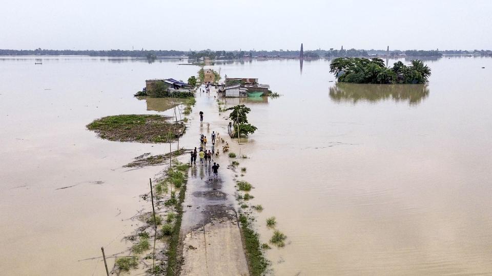
The India Meteorological Department (IMD) had on June 5 forecast that the intensity of heavy rainfall will reduce over the northeastern states in the next five days. However, this was preceded by intense rain that led to floods and landslides across the region in the past week. How unusual was this rain? An HT analysis shows that most of the unusual rain in the region took place over the course of five days: from May 30 to June 3. The rain in this five-day period was the highest for the five days ending June 3 since 1901 across six of the eight states in the region; and in six states this rain was worth more than the rain of 15 days ending June 3.
To be sure, some places in north-eastern states continued to be unusually rainy even on June 4 and June 5. However, according to IMD’s gridded data, an unusually large amount of rain was widespread in the region during a five-day period. This can be seen by comparing daily rain in 2025 with the long period average (LPA) of rain for those days. LPA is the average rain during the 1971-2020 period and is used to track rain’s performance. Large departures from the LPA became widespread across north-eastern states on May 30 and lasted until June 3.
The reason why big upward deviation from LPA became widespread on May 30 is that the monsoon had arrived over all north-eastern states on May 29. Usually, the eastern arm of the monsoon covers Sikkim – the most western of the eight states in the region – only on June 10.
With the very early arrival of the monsoon, it is natural that the rain would be record-breaking for this part of the year. For the five days ending June 3, the rain in six of the eight north-eastern states – all except Nagaland and Sikkim – is the highest since 1901, the first year for which IMD has published gridded data. To be sure, this does not mean that Nagaland and Sikkim did not experience unseasonal rain. The rain in the five-day period for Nagaland and Sikkim is also ranked third and 24th highest since 1901. That rain was unusual across all eight states can also be seen in the fact that the five-day period rain was more than the LPA for even the 15-day period ending June 3 across all states except Sikkim.
To be sure, even if the average rain for a state is low/high for a 24-hour period, it can be intense/not intense if it is geographically concentrated/spread out. Therefore, it is important to check the trends in heavy or higher intensity rain, which is classified as rain of 35.5 mm or more at a place for 24-hour rain. This shows that all states except Sikkim had over 500% surplus in heavy or higher intensity rain in the five-day period ending on June 3. To be sure, even Nagaland averaged only 44.3 mm of such rain for the state compared to over 100 mm for all other states except Sikkim.
These numbers clearly show that the early arrival of monsoon has led to a sudden downpour in north-eastern states, unprecedented for this part of May-June across most of them. However, such heavy rain is not the only reason behind the disasters that followed. For example, over a thousand tourists were stranded in Sikkim and at least three army personnel died in a landslide. While rain had a role in these landslides, the role of rapid construction and concretisation cannot be discounted.



