In a first, the forest department in Haryana will be mapping forest areas of the Aravallis using satellite images and geographic information system (GIS) monitoring that will provide 3D visuals of the entire area.
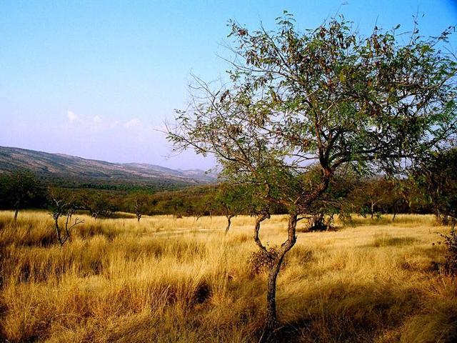
The benefit, according to officials, will be the availability of real time images from the ground that show forest area, it size and extent and the number of trees. This will help clear air over whether an area has forest or not. This is often debated and caught in litigation to make way for development projects.
“The system shows how the Aravallis are protecting us by preventing desertification. All existing good forest cover is clearly visible and need to be protected for our own future”, said Vinod Kumar, conservator of forest (community forestry), Hisar, who has worked on developing the system, along with conservator of forest, Gurgaon, MD Sinha.
He said that the technique used is called digital elevation model (DEM). It shows the elevation of the Aravalli hills, the kind of terrain, its folds and cracks and even ongoing mining activity. According to Kumar, the current network can fly one through the entire Aravalli range from Gujarat to Haryana.
Currently low-resolution imagery can be obtained and officials are still fine tuning it. Kumar plans to overlay khasra details on the images through geospatial mapping. This will make it easier to identify the ownership of land and whether it comes under forest or not.
{{/usCountry}}Currently low-resolution imagery can be obtained and officials are still fine tuning it. Kumar plans to overlay khasra details on the images through geospatial mapping. This will make it easier to identify the ownership of land and whether it comes under forest or not.
{{/usCountry}}“Ability of technology to predict and be an important tool for management of forest areas is immense. Much of this area is fragile and needs immediate protection”, said MD Sinha.
A demonstration of the new technique will be held on June 5, the World Environment Day, at a seminar on saving the Aravallis.