China is capable of flying drones over the disputed South China Sea to keep a watch over the contested area of over 3.5 million sq km.
These indigenous drones will hover over the Diaoyu Islands in the East China Sea that claimed by both China and Japan, an official said.
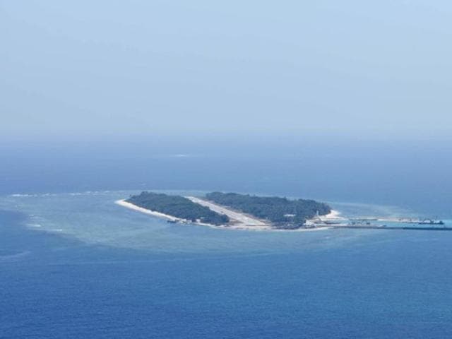
“Many of the islands and reefs in the South China Sea have much larger underwater portions than what is visible above water, making them harder to survey and map,” Li Yingcheng, general manager of China TopRS Technology Co. Ltd said.
“In response to this challenge, China has designed drones to handle such complicated surveying, including the ZC-5B and Zc-10 unmanned aircraft systems (UAS). The ZC-5B has a maximum flight distance of 1,400 km, and can stay in the air for up to 30 consecutive hours,” Li was quoted as saying by the Chinese media.
“Its design makes it stealthy, which comes in handy for open sea reef surveying and mapping” Li added.
These drones will use the Beidou (Chinese equivalent to Google) navigation system.
Last month, China had launched a high-resolution satellite for the protection of maritime rights amid disputes with maritime neighbours over the South China Sea.
{{/usCountry}}Last month, China had launched a high-resolution satellite for the protection of maritime rights amid disputes with maritime neighbours over the South China Sea.
{{/usCountry}}In July, an international court rejected China’s claims over the South China Sea in a case brought by the Philippines. The Philippines, Brunei, Malaysia, Vietnam and Taiwan have overlapping claims over the world’s most important waterway that facilitates trade worth $5 trillion every year.
Beijing has rejected the ruling as illegal.
Experts say it is difficult for one single power to control and keep a watch over such a large waterbody that is believed to have oil reserves of seven billion barrels.
“Reefs and islands are important parts of our national territory. Precise information of their geology is crucial evidence for the demarcation of territorial waters and for safeguarding national maritime interests and security,” Li said.