AGRA River Chambal crossed the highest flood level (HFL) on Thursday, (earlier touched in 1996) and continued to pose a threat to about 40 villages of Agra district on the border of UP and Rajasthan. The water level in Chambal touched 136.70 metres at 4 pm on Thursday with increasing trend.
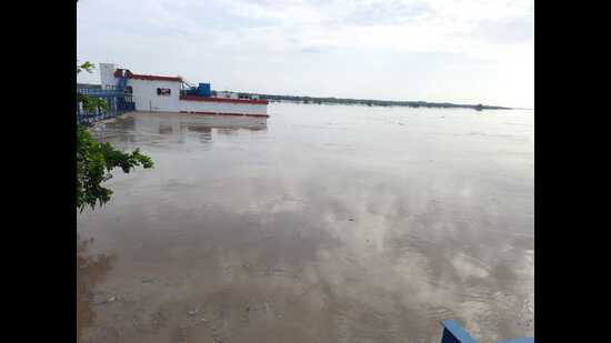
“The river crossed the previous high level of 1996 which was 136.60 metres and was flowing at 136.70 metres at 4 pm on Thursday in Pinahat area of Agra district. Measures taken to meet the flood situation are being reviewed constantly and all efforts are being made minimize the damage,” said Prabhu N Singh, the district magistrate of Agra.
“Floods are not new to these villages located in border area of the state but the situation is very bad this year with river Chambal rising above the level it touched last in 1996. The villagers who have not vacated their houses are climbing on their roofs but rain and lack of electricity is making things tough for them,” said Devendra Sharma aka Munna Lambar, a district panchayat member.
“Farmers need to be provided due compensation for damage to their crops and relief work needs to be steady and quick in about 40 villages in low-lying area. The flood in river Chambal is due to release of water from Kota Barrage in Rajasthan,” said Munna Lambar.
{{/usCountry}}“Farmers need to be provided due compensation for damage to their crops and relief work needs to be steady and quick in about 40 villages in low-lying area. The flood in river Chambal is due to release of water from Kota Barrage in Rajasthan,” said Munna Lambar.
{{/usCountry}}The Chambal river had crossed the danger mark in Pinahat area of Agra district on Wednesday and was flowing two metres above the danger level on Wednesday afternoon. Bah MLA Rani Pakshalika Singh and the district magistrate of Agra reached Pinahat and supervised relief operations in this rural belt.
At least 38 villages, having a population of about 20,000, are feared to be affected in Bah and Pinahat areas after release of water from Kota Barrage.
The alert level of Chambal is at 127 metres while danger level is at 130 metres in Pinahat area which had highest flood level at 136 metres in 1996.