
 E-Paper



Monsoon active with 2 intense systems; heavy rain expected in parts of India
IMD director general M Mohapatra said that the monsoon is in extremely active condition over the country with two weather systems over Rajasthan and Gangetic West Bengal

 Prefer HTon Google


Very heavy to extremely heavy (12.5 cm to over 20 cm) rainfall was likely in south Rajasthan, Gujarat, Konkan, Goa, central Maharashtra, and coastal Karnataka during the next two to three days while sporadic rain and thunderstorm activity was expected in Delhi, Haryana and Uttar Pradesh this week as the monsoon is active with the development of two intense weather systems, the India Meteorological Department (IMD) said on Monday. Heavy rain (6.45 cm to 20 cm) was likely in Gangetic West Bengal, Bihar, Odisha, and Jharkhand in eastern India.
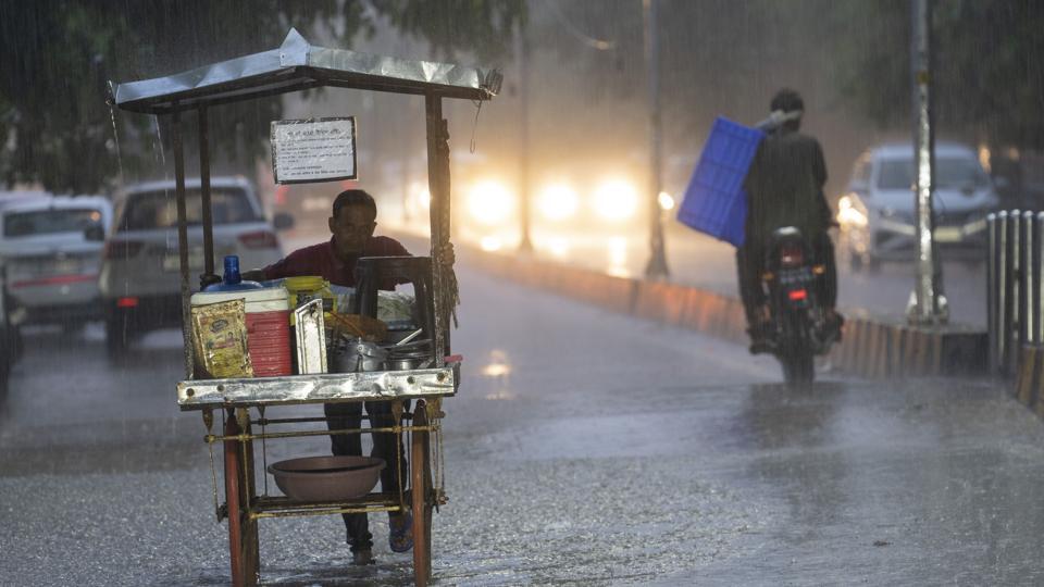
IMD director general M Mohapatra said the weather systems were active over Rajasthan and Gangetic West Bengal. “There has been extremely heavy rain in Gujarat. Very heavy rain will continue in the region. East India will also get very heavy rain. Delhi, National Capital Region (NCR), Haryana, and Punjab are expected to record sporadic rain and thundershowers during the week. Rainfall will increase,” said Mohapatra.
Over 65,000 people have been displaced and around two dozen people killed after heavy rain triggered floods and landslides in Tripura. Heavy rainfall in parts of Gujarat forced hundreds of affected people to move to safer locations with Navsari facing severe flooding.
There has been five per cent excess rainfall in the country since June 1. South Peninsular India has received 19% and Central India 13% excess rainfall. There has been an 11% deficiency in east and northeast India and no excess in northwest India.
A deep depression over east Rajasthan and adjoining west Madhya Pradesh moved west southwestwards with a speed of eight km per hour. It was centered about 60 km southeast of Udaipur (Rajasthan), 180 km east of Deesa (Gujarat), and 180 km north-northeast of Ahmedabad (Gujarat). The depression was likely to continue to move west-southwestwards across south Rajasthan and Gujarat region and reach Saurashtra and Kutch and adjoining areas of Pakistan and the northeast Arabian Sea by the morning of August 29.
A well-marked low-pressure area was likely to move west-northwestwards across Gangetic West Bengal, Jharkhand, and adjoining north Odisha during the next two days. The western end of the monsoon trough at mean sea level was south of its normal position. The eastern end was at its normal position and likely to continue to be so during the next three to four days.
Fairly widespread to widespread light/moderate rainfall was very likely in Himachal Pradesh, Uttarakhand, and Rajasthan. Isolated to scattered rainfall was expected in Jammu and Kashmir, Ladakh, Gilgit, Baltistan, Muzaffarabad, Punjab, Uttar Pradesh, Haryana, Chandigarh, and Delhi during the week. Isolated heavy rainfall was very likely in Uttarakhand, east Uttar Pradesh on Tuesday.
Private forecaster Skymet Weather vice president (climate and meteorology) Mahesh Palawat said an active rain spell was expected in western and eastern parts of the country. “Because the eastern end of the monsoon trough is at its normal position, it will rain in northwest India including Delhi-NCR. There is also a western disturbance that is impacting the Western Himalayan region.”


