
 E-Paper


Georgia tornado warning: Carrollton and Franklin under possible tornado alert
National Weather Service extends Severe Thunderstorm Warning for Carrollton and Franklin with a tornado alert.

 Prefer HTon Google


A tornado warning has been issued for Carroll County until 3:00 PM on 27 May. The National Weather Service has also tagged the ongoing Severe Thunderstorm Warning for Carrollton and Franklin with a “tornado possible” alert, likely due to a weak rotation detected near Bowdon.
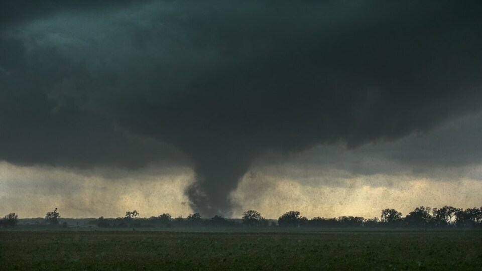
“For Carroll County until 3pm. Radar indicated rotation near Graham moving east at 35 mph. Take shelter now!” Joanne Feldman, an Emmy Award-winning meteorologist with FOX 5 Atlanta, warned.
Notably, tornadoes had not yet been officially confirmed; multiple reports of suspected spin-ups were received in Carroll, Coweta, and Fayette counties.
ALSO READ| Memorial Day weekend weather: Complete forecast of storms, tornadoes and showers
Storms batter South of Atlanta, damage reported
By 5 PM, the brunt of the storm had shifted south of the metro Atlanta area, but communities across the region were still dealing with scattered showers and the lingering impacts of earlier weather threats.
The most intense storms pushed into areas south of I-20 including Butts, Jasper, and Monroe counties bringing heavy rainfall and strong wind gusts as the system tracked toward Monticello and Forsyth.
Minor damage has already been reported in some of these areas, with residents describing sudden wind gusts and debris. Local officials have yet to release full details as assessments continue. The National Weather Service is expected to confirm whether any tornadoes did indeed touch down.
FOX 5 meteorologist Alex Forbes issued a warning during Tuesday’s live update: “Tuesday afternoon, we’re going to be watching another developing system pushing in from Alabama. All three—heavy rainfall, frequent lightning, and damaging wind gusts—are going to be possible.”
ALSO READ| Is a tornado watch or warning worse? Know the difference
Areas like Gainesville and Habersham County remained under a blanket of cool, stable air, which kept storms at bay. Temperatures in Canton and Gainesville barely reached the mid-50s, while areas further south, like LaGrange, hit nearly 80 degrees.


