
 E-Paper



Chandigarh shivers as maximum temperature slide continues
As per the India Meteorological Department (IMD), the maximum temperature was six degrees below normal, making Saturday the second consecutive ‘cold day’ as per the India Meteorological Department

 Prefer HTon Google


Residents continued to shiver as the city’s maximum temperature dipped further on Saturday, settling at 15°C, from Friday’s 15.3°C. As per the India Meteorological Department (IMD), the maximum temperature was six degrees below normal, making Saturday the second consecutive ‘cold day’ as per the IMD. A cold day is declared when the minimum temperature goes below 10°C and maximum temperature falls to 4.5-6.4°C below normal.
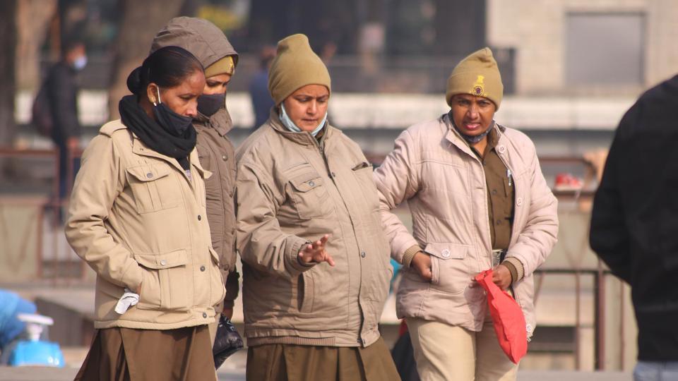
As per IMD officials, the maximum temperature is likely to rise in the coming days while minimum temperature may fall by two to three degrees leading to cold wave conditions. A cold wave is declared when the minimum temperature is 10°C or below and/or is 4.5 notches lesser than the season’s normal for two consecutive days. Cold wave is also declared when the minimum temperature is less than 4°C in our region.
The minimum temperature rose from 5.6°C s on Friday to 6.1°C on Saturday. Due to dense fog, the minimum temperature is unable to fall further as per the weathermen.
Two western disturbances are likely to come one after the other in the coming week. The first western disturbance will affect the city between December 22 and December 23 while the second will affect the city between December 24 and December 25. It is expected that this will increase the temperature in the region and also bring light to moderate rain.
Visibility was also affected in the city due to dense fog. At 8:30 am on Saturday, visibility was down to 200 metres in the city. This was a slight improvement over Friday when it had gone down to just 50 metres while chances of dense fog will continue on Sunday and Monday as well, especially in the early morning hours.
Air Quality very poor
After going past 300 on Friday, the Air Quality Index (AQI) at the Continuous Ambient Air Quality Monitoring Station (CAAQMS) in Sector 22 remained over 300 for most of Saturday. At 7:00 pm it was recorded as 306, taking the average of the past 24 hours. Between 300 and 400, AQI is regarded as very poor and can cause respiratory illnesses on prolonged exposure.
While the rise in AQI is due to weather related reasons, with two western disturbances approaching the region, it is expected that AQI will significantly fall down after rainfall.


