After a long dry spell of nearly two weeks, monsoon is likely to pick up over central, east and parts of northwest India according to India Meteorological Department.
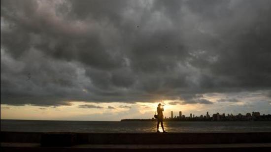
A low pressure area is lying over coastal Odisha and adjoining northwest Bay of Bengal. The associated cyclonic circulation is likely to move west northwestwards during the next 48 hours across interior Odisha, Chhattisgarh and northeast Madhya Pradesh, IMD said.
The western end of monsoon trough is north of its normal position and the eastern end is south of its normal position and passes through the centre of low pressure area over coastal Odisha to east central Bay of Bengal. The western end of monsoon trough is very likely to shift gradually southwards towards its near normal position during the next 2 days, the weather department bulletin said.
Strong southerly winds from Bay of Bengal to northeast India will continue to prevail till August 18.
Due to these meteorological conditions, enhanced rainfall activity over central and adjoining north peninsular India is likely during the next 3 days; widespread rainfall activity with isolated heavy to very heavy rain is likely over Marathwada, Telangana, Odisha, Vidarbha, central Maharashtra till August 19. Widespread rain is also likely to continue over Gangetic West Bengal, Jharkhand, Konkan, Goa and Gujarat till August 20, the weather forecast said.
Widespread rainfall activity with isolated heavy falls is likely over Uttar Pradesh, Uttarakhand and Himachal Pradesh from August 19 to 23; over Haryana, Chandigarh and Delhi on August 20 and 21. Moderate to severe thunderstorms with lightning at isolated places over east Uttar Pradesh and Madhya Pradesh are also expected during the next 24 hours.
{{/usCountry}}Widespread rainfall activity with isolated heavy falls is likely over Uttar Pradesh, Uttarakhand and Himachal Pradesh from August 19 to 23; over Haryana, Chandigarh and Delhi on August 20 and 21. Moderate to severe thunderstorms with lightning at isolated places over east Uttar Pradesh and Madhya Pradesh are also expected during the next 24 hours.
{{/usCountry}}