
 E-Paper



Monsoon wipes out gains in erratic August
India has received 561.8mm of rain so far this monsoon, just 0.1mm short of the long-period average (LPA, otherwise known as the normal) of 561.9mm for the same period

 Prefer HTon Google


On June 30, a month into the rainy season, India had received 8.9% more monsoon rains than normal. These were not evenly distributed across the country, but were in excess cumulatively – excesses of 42.2% over northwest India and 24.8% over central India, but deficiencies of 16.9% over east and northeast India and 2.7% over peninsular India.
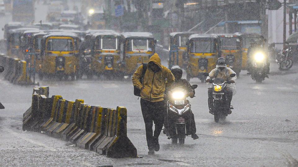
This trend carried into the next month. As on July 31, India had received 6.4% excess monsoon rain. Again, these were spread unequally – 21.1% excess over northwest India, 22.9% excess over central India, a 22% deficiency over east and northeast India and a 2.3% shortfall over peninsular India.
Within the first 13 days of August, India’s overall rain surplus has shrunk significantly, with the country receiving its usual quantum of monsoon rain so far this month – neither an excess nor a deficiency, showed data from the India Meteorological Department (IMD). This, despite a clutch of states receiving significantly more rain than normal, underscoring the deep variations that now characterise the monsoon, with its patterns ravaged by the climate crisis.
India has received 561.8mm of rain so far this monsoon, just 0.1mm short of the long-period average (LPA, otherwise known as the normal) of 561.9mm for the same period. At the same time, the rain in northwest India has been 17% above normal (433.1mm this season, against a 371.7mm LPA), even as showers in the east and northeast have been 18% deficient (724.5mm, as against 878.3mm). The central India and southern India IMD subdivisions received excess rains of 3% and 0%, respectively, till August 12.
The downpour over the foothills of the Himalayas, which swept away a cluster of villages in Uttarkashi last week and submerged dozens of towns, kept the central, eastern and northeastern parts of the country from receiving much rain, said IMD officials.
Uttarakhand has received 57% excess rain this month and 12% this season. Similarly, Bihar has received 45% excess so far this August and 26% deficiency this season, Uttar Pradesh 68% and 9% and Himachal Pradesh 29% and 15%.
Most of central India however recorded large — over 60% — deficiency. In August, Madhya Pradesh recorded 68% deficiency; Chhattisgarh 62%; Rajasthan 71%; Maharashtra 63%; Odisha 65% and Gujarat 89%, among others
This may change next week, the IMD officials added.
“We are expecting that central India will start recovering from the deficiency as a low-pressure area will form over Bay of Bengal and travel towards central India,” said IMD director general M Mohapatra.
Private forecasters pointed out that the monsoon usually pauses for around 10 days in August, but that this year’s break has been longer and more unforgiving than usual for the central parts of the country.
“There is definitely a lot of variability. The monsoon trough shifted to the foothills. Along with that, there was a western disturbance, a cyclonic circulation which together created conditions for torrential rains over some parts of north India. In August we usually expect a monsoon-break period when the trough shifts north. But this was an especially prolonged period that parched Rajasthan, western Madhya Pradesh, Gujarat and others,” said Mahesh Palawat, vice president, climate and meteorology, Skymet Weather.
“The low-pressure area building over the Bay of Bengal will now pull the eastern end of the monsoon trough to the south. It is soon likely to pass through southern Odisha and southern Chhattisgarh, among others. This will bring farmers relief,” Palawat added.
He also said the monsoon trough shifted slightly south over Delhi and Haryana last Saturday leading to extremely heavy, continuous, flooding rain over Delhi, before the trough again shifted to the foothills.
M Rajeevan, former secretary at the ministry of earth sciences, however, said this variability is normal.
“Monsoon so far in August was in a typical break phase. In the break phase monsoon rains are confined to close to foothills and southeast India. This is absolutely part of monsoon variability,” he said.



