The southwest monsoon will begin withdrawing from many parts of northwest India from Wednesday, the India Meteorological Department (IMD) said, pointing out that it will likely be the second most delayed withdrawal since 1960.
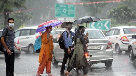
“Rain has stopped in many parts of northwest India. There is still some rain over Ganganagar region in Rajasthan. Water vapour has also reduced significantly, and an anti-cyclone is getting established, leading to change in wind direction to northwesterly. All these conditions favour gradual monsoon withdrawal and establishment of dry conditions with marginal fall in temperature,” said K Sathi Devi, head, national weather forecasting centre.
Delhi, however, saw localised thunderstorms on Tuesday. “The thunderstorm activity over some parts of Delhi is mainly due to high day temperatures and moisture. There is also a western disturbance, which is impacting the region,” Devi said.
The withdrawal of the June-September monsoon means a gradual fall in temperature and humidity as dry winds blow in from the northwest. The most delayed monsoon withdrawal was observed in 2019, the Met department said, when it started withdrawing on October 9. Last year, monsoon began withdrawing on September 28, while in 1961, it started withdrawing on October 1.
“There are still some clouds over Rajasthan, but by tomorrow (October 6) it will clear up and there will be very fast withdrawal of monsoon this time,” said Mahesh Palawat, vice-president, climate change and meteorology at private forecaster Skymet Weather. “As per our analysis, monsoon will withdraw from Punjab, Haryana, Western Himalayas, Gujarat, northern parts of Madhya Pradesh, even parts of Bihar and Uttar Pradesh by October 10. Northwesterly winds will penetrate the entire region. There will be a slight drop in temperatures in the morning and evening and winds will be dry.”
{{/usCountry}}“There are still some clouds over Rajasthan, but by tomorrow (October 6) it will clear up and there will be very fast withdrawal of monsoon this time,” said Mahesh Palawat, vice-president, climate change and meteorology at private forecaster Skymet Weather. “As per our analysis, monsoon will withdraw from Punjab, Haryana, Western Himalayas, Gujarat, northern parts of Madhya Pradesh, even parts of Bihar and Uttar Pradesh by October 10. Northwesterly winds will penetrate the entire region. There will be a slight drop in temperatures in the morning and evening and winds will be dry.”
{{/usCountry}}Delhi recorded a maximum temperature of 33 degrees Celsius on Tuesday.
Meanwhile, harvesting has started in Punjab and Haryana. “The weather has not cleared up completely. Harvesting has started, but will pick up properly around October 10. Some isolated stubble fires have started. Until the government plans to give farmers a direct subsidy, most farmers will choose to burn stubble,” said Harinder Singh Lakhowal, general secretary, Bharatiya Kisan Union, Punjab.
The air quality in Delhi is likely to worsen on October 6 and 7, according to the ministry of earth sciences’ air quality early warning system. Air quality turns hazardous every year around this time in the national capital region, partly due to the burning of farm residue as farmers prepare their fields for the winter crop.
Weather satellites have already observed burning fire points over Punjab and adjoining areas in Pakistan, the warning system said.
IMD in its Tuesday bulletin said: “Isolated heavy rain is very likely over Tamil Nadu and Kerala on October 5 and 6 and over Karnataka during October 5 and 7. Isolated very heavy rain is also very likely over south interior Karnataka, Tamil Nadu and Kerala and over coastal Karnataka on Wednesday. A cyclonic circulation is lying over Sub-Himalayan West Bengal and neighbourhood. Under its influence, isolated heavy rain is very likely over south Assam and Tripura on Wednesday.”