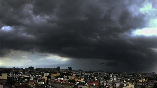
This monsoon’s first depression brought extremely heavy rain (over 20cm) to several parts of Odisha and Gujarat on Monday. The deep depression had formed over northwest Bay of Bengal and adjoining Odisha coast.
Normally, around 5 to 6 depressions form during monsoon season, bringing extensive rainfall to central and west India.
Puri’s Astranga station reported 53cm; Kakatpur reported 52cm and Jagatsinghpur’s Balikuda reported 44cm between 8.30am on Sunday to 8.30am on Monday while Lodhika in Gujarat’s Rajkot recorded 50cm; Visavadar in Junagarh recorded 35cm; Kalavad in Jamnagar recorded 29cm from 8.30 am on Monday to 5.30pm.
Also Read | Generally cloudy sky in Delhi today; expect light rains
The deep depression over north Odisha moved further west-northwestwards on Monday and lay centred over north interior Odisha, close to Jharsuguda early morning on Tuesday. It is very likely to continue to move west-northwestwards across north Chhattisgarh and Madhya Pradesh during the next 48 hours. The deep depression is very likely to weaken into a depression during the next 12 hours. There is also a low pressure area lying over Gujarat region with an associated cyclonic circulation. It is very likely to become less marked during the next 12 hours. The monsoon trough is lying south of its normal position. It is very likely to remain south of its normal position during the next 3-4 days.
Widespread rainfall over Odisha and Chhattisgarh with isolated extremely heavy rain is likely over these areas till Tuesday. Widespread rainfall with isolated heavy to very heavy rain is very likely over north Konkan, north Madhya Maharashtra, Gujarat, east Rajasthan, and Madhya Pradesh during the next 3-4 days. A fresh spell of heavy rain is likely over northwest India from September 16 at isolated places over Haryana, Rajasthan and west Uttar Pradesh.
{{/usCountry}}Widespread rainfall over Odisha and Chhattisgarh with isolated extremely heavy rain is likely over these areas till Tuesday. Widespread rainfall with isolated heavy to very heavy rain is very likely over north Konkan, north Madhya Maharashtra, Gujarat, east Rajasthan, and Madhya Pradesh during the next 3-4 days. A fresh spell of heavy rain is likely over northwest India from September 16 at isolated places over Haryana, Rajasthan and west Uttar Pradesh.
{{/usCountry}}“Normally, 5-6 depressions form in monsoon but this year we have had only well marked low pressure areas this year. This deep depression will weaken during next 12 hours. The depression will move west-northwestwards and reach west Madhya Pradesh and adjoining Rajasthan region. But a trough will form which will get a moisture feed from Arabian Sea which is why we are likely to experience thundershowers and rain around September 16,” said Sunitha Devi, in charge of cyclones at IMD.
Normally, monsoon starts withdrawing from northwest India around September 17 but IMD’s extended range forecast shows widespread rainfall till September 30.