
 E-Paper



Pockets of country to register more heatwave days, says IMD
The forecast added that around eight to 11 “heatwave days” are likely over south Rajasthan, west Madhya Pradesh, Vidarbha, Marathwada and Gujarat region.

 Prefer HTon Google


People living in India’s northwest, parts of the east and the southern peninsula are likely to experience twice as many “heatwave days” as they normally do in the month of May, India Meteorological Department (IMD) said in its monthly forecast, which also warned that above-normal day temperature is likely over most parts of the country.
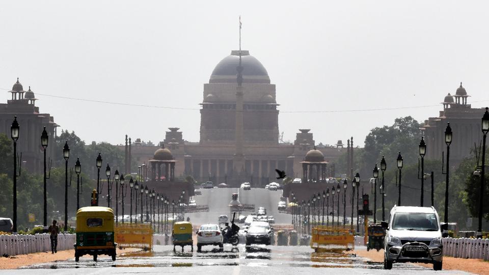
While an average of three “heatwave days” are common in Delhi, Uttar Pradesh, Punjab, Haryana, Rajasthan, east Madhya Pradesh, Gangetic West Bengal, Bihar, parts of south peninsular India in May, these regions will get around five to seven such days this month, according to IMD’s forecast.
The forecast assumes particular significance because several of these regions will be the focal centre of a high-pitched electoral battle and are likely to see mass rallies ahead of the scheduled voting in the Lok Sabha elections in the coming month.
ALSO READ | Heatwave updates: ‘Orange alert’ in Kerala; maximum temp crosses 47°C in West Bengal's Kalaikunda
The forecast added that around eight to 11 “heatwave days” are likely over south Rajasthan, west Madhya Pradesh, Vidarbha, Marathwada and Gujarat region. These regions otherwise get an average of three days of such “heatwave days”.
It added that normal maximum temperatures are likely over “most parts” of India except the northeast, some parts of northwest and central India and adjoining areas of northeast peninsular India where normal to below-normal maximum temperatures are likely. Above-normal minimum or night temperatures are also likely over most parts of the country, except isolated parts of northwest India, the Indo-Gangetic plains, central India and most parts of northeast India where normal to below-normal minimum temperatures are likely.
“An average of three heatwave days are generally expected in May. But this year, the number of heatwave days are expected to be higher over northwest India and east and peninsular region also,” said M Mohapatra, director general, IMD.
Heatwave conditions are considered to have been breached when the maximum temperature crosses 40°C in the plains; is over 37°C in coastal areas and over 30°C in hilly regions and the deviation from normal is between 4.5 and 6.4°C above the average maximum. If these conditions persist for two consecutive days, a heatwave is declared on the second day.
ALSO READ | Heatwave hits parts of India not usually associated with such weather
Temperatures do not necessarily need to surpass 40°C to be dangerous. The combination of humidity with heat is worse for human health since people cool down by sweating -- a phenomenon measured via wet-bulb temperature, which can be fatal once it is past even 32°C.
In terms of rainfall, May is expected to be normal or above-normal in most regions of the country – around 91-109% of the long-period average (LPA). Normal to above-normal rainfall is likely over most parts of northwest India, some parts of central, peninsular and northeast India, the forecast said. LPA for May is based on data of 1971-2020 is about 61.4 mm.
Currently, El Niño conditions are present over the equatorial Pacific region. The latest Monsoon Mission Coupled Forecasting System forecast suggests that these El Niño conditions are likely to turn into neutral conditions in the beginning of monsoon season, according to IMD.
The latest climate models are also indicating that positive IOD conditions are likely to develop during the monsoon season. “Together they will make conditions favourable for good rainfall. We are expecting La Nina conditions to establish around August,” said Mohapatra.
El Nino refers to a warm phase of ENSO, which has a major influence on weather and climate patterns such as heavy rains, floods and drought. In India, El Nino is associated with drought or weak monsoon. La Nina is associated with strong monsoon and above average rains and colder winters.
La Nina has a cooling influence in India even as it recorded a very unusual spring and summer dominated by extreme record-breaking heat spells.
La Niña appears when easterly trade winds intensify the upwelling of cooler water from the depths of the eastern tropical Pacific, causing a large-scale cooling of the eastern and central Pacific Ocean surface near the Equator according to NOAA.
8th warmest April for India; warmest for east, 2nd warmest for south
Despite normal to below normal temperatures over northwest India, extreme temperatures over rest of the country especially east and south peninsular India made this April among the warmest since 1901. The mean temperature for the country was 29.06°C, 0.76°C above normal.
HT reported on Wednesday that temperatures in eastern and peninsular India has smashed records this April, exposing people to extreme heat for weeks together amid polling for the 2024 general elections.
It was the warmest April in eastern and northeastern India in terms of both mean and night temperatures since records began in 1901 according to updated analysis presented by IMD on Wednesday. The minimum temperature over the region in April was 1.78°C above normal and mean temperature was 2°C above normal.
For south peninsular India, it was the second-warmest April since 1901 with average maximum temperature recorded 1.35°C above normal; minimum temperature was 1.09°C above normal and mean temperature 1.22°C above normal, according to IMD.
Rainfall during April 2024 over south peninsular India was 12.6mm – the fifth lowest since 1901.
Between March 1 and April 30, there is a 68% rainfall deficiency over South Peninsula; 30% rain deficiency over east and northeast India. There is however 6% excess rainfall over NW India and 82% excess over central India during the same period.
“There is a clear trend of rising temperatures over peninsular India in recent years. But the trend is not very clear over east and northeast India so this year stood out due to extreme heat over the region,” Mohapatra said.
As per media reports analysed by IMD, there have been 32 deaths due to extreme weather events in April including heavy rain and heat. There were five heat deaths in Odisha; two such deaths in Bihar and two in Kerala.
Thought there was no major heatwave in March, in April there were two unusually long heatwave spells between April 5 to 7 over eastern India, SE Peninsular and between April 15 and 30 April over Odisha and WB. This spell intensified and expanded to Bihar, Jharkhand, Southeast Peninsular India and interior Karnataka from 24 April.
According to IMD, a long dry spell with absence of thunderstorm activity over east and peninsular region and an anticyclone over the Bay of Bengal were major reasons for prolonged and intense heat.
“There was hardly any kalbaisakhi (pre-monsoon thunderstorm) this time. Anticylone persisted on most dates at lower levels over west central Bay and adjoining eastern coasts of India. This blocked sea breeze over Odisha and West Bengal,” added Mohapatra.
The number of heatwave days in April 2024 is highest since 2010 (15 years) over Gangetic WB and highest over Odisha since 2017 (9 years).
Interestingly, there were no heatwaves over north and central India in April 2024 due to back-to-back western disturbances. There were five active WDs, four of which were very slow moving. They caused rain/snow over western Himalayan states and adjoining plains of India for two-to-four days. Isolated heavy rain/snow was also reported for around three to five days in the month, Mohapatra said.



