
 E-Paper



Snowfall expected over Western Himalayas today
A fresh Western Disturbance and its induced cyclonic circulation at the back of the present one is likely to cause widespread and moderate snowfall over J&K, Ladakh, Gilgit-Baltistan, Muzaffarabad and Himachal Pradesh on Friday and Saturday as well

 Prefer HTon Google


A Western Disturbance and moisture incursion from Arabian Sea over Western Himalayas will bring scattered rain or snowfall over Jammu and Kashmir, Ladakh, Gilgit-Baltistan, Muzaffarabad, Himachal Pradesh and Uttarakhand during the next 24 hours.
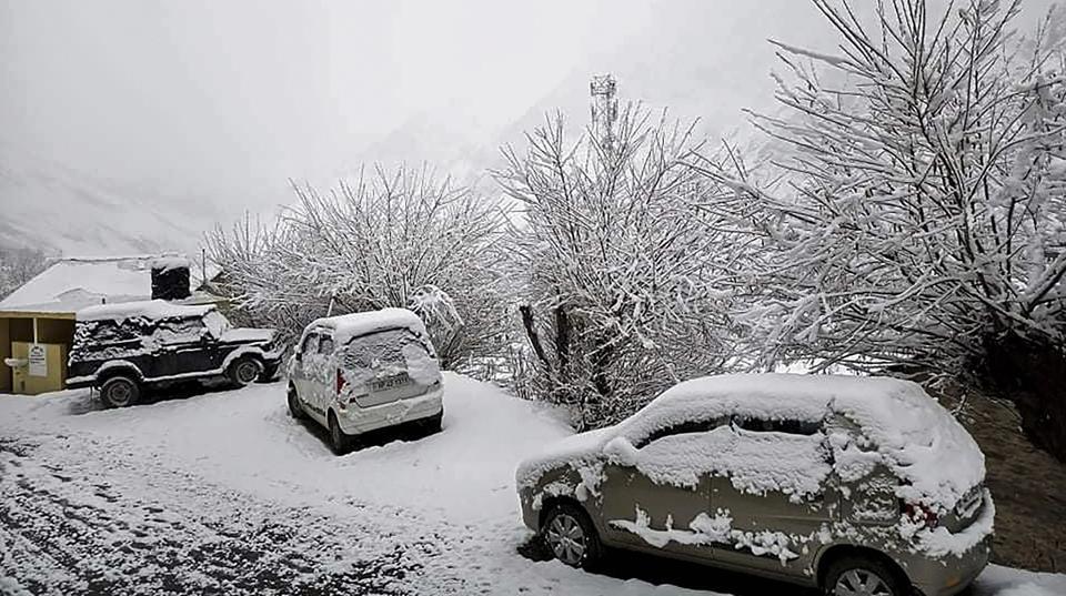
A fresh Western Disturbance and its induced cyclonic circulation at the back of the present one is likely to cause widespread and moderate snowfall over J&K, Ladakh, Gilgit-Baltistan, Muzaffarabad and Himachal Pradesh on Friday and Saturday as well.
Scattered rainfall is also very likely over Haryana and Punjab during the same period. Due to high moisture feeding from Arabian Sea to northwest India, there may be heavy snowfall spells over J&K, Gilgit-Baltistan, Muzaffarabad on Friday, India Meteorological Department (IMD) said in its bulletin.
Thunderstorm accompanied with lightning and hail is likely at some places over Jammu, Himachal Pradesh and Punjab on Friday; over Uttarakhand on Saturday and over Madhya Maharashtra on Friday and Saturday. Thunderstorm accompanied with lightning is likely at some places over Haryana, Chandigarh and Delhi on Friday and Saturday.
Also read | For first time this season, Delhi min temp falls below 10°C
Most cities and towns over northwest India recorded poor to very poor category air on Thursday morning which included Baghpat, Bahadurgarh, Ghaziabad, Greater Noida, Gurugram, Hisar and Lucknow. Kanpur and Bulandshahr recorded severe air quality. Delhi’s air quality index is 317 in very poor category.
Under the influence of the cyclonic circulation over southeast Arabian Sea, a low-pressure area has formed over Southeast Arabian Sea, IMD’s Wednesday night bulletin said.


