Maharashtra lost 58.81 square kilometres (14,532 acres) of green cover in the seven years from 2005-06 to 2011-12, a first-of-its-kind satellite mapping of the state has revealed. This is an area equivalent to about 660 Oval Maidans. The iconic maidan covers 22 acres south of Churchgate.
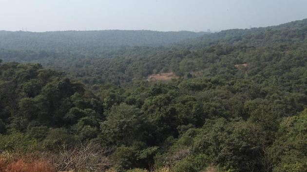
The Maharashtra Forest Cover Change study was conducted by the Maharashtra Remote Sensing Applications Centre (MRSAC), Nagpur, and published by the state’s forest department in Nagpur on April 22. MRSAC compared satellite images of Maharashtra from 2005-06 with those from 2011-12 to arrive at the figure. The report said the state’s green cover – including various types of forests, plantations, mangroves, swamps and other tree-covered areas – fell from 56,705 sq km to 56,646 sq km over that seven-year period.
Pravin Srivastava, additional principal chief conservator of forests (APCCF) for information technology and policy, state forest department, issued a caveat, saying, “This report relied purely on technology and needs to be corroborated with on-ground studies. This will form the second part of the study and will begin soon. Forest officials will be asked to submit reports about the forest cover in their districts.”
Srivastava said there were three main reasons for the decrease in forest cover. “Development projects sanctioned in forests have led to deforestation. Long dry spells during the monsoon also affected the cover as forests are rain-fed,” he said. “Forest fires caused by excessive heat are another reason.”
{{/usCountry}}Srivastava said there were three main reasons for the decrease in forest cover. “Development projects sanctioned in forests have led to deforestation. Long dry spells during the monsoon also affected the cover as forests are rain-fed,” he said. “Forest fires caused by excessive heat are another reason.”
{{/usCountry}}While the area covered by evergreen or semi-evergreen, dense forests fell from 5,426.5 sq km in 2005-06 to 5388.5 sq km in 2011-12, evergreen open forests increased in size from 1378.7 sq km in 2005-06 to 1415.4 sq km in 2011-12. The area covered by deciduous dense forests fell by 922.55 sq km, while 187.47 sq km of deciduous open forest was lost, the report’s summary stated.
This is the first time the forest department has used technology to track changes in forest cover, which is a global mandate. Until now, only Telangana’s forest department had used satellite mapping to track its green cover. To reduce carbon emissions by increasing green cover in developing countries, the United Nations introduced a collaborative programme called Reducing Emissions from Deforestation and Forest Degradation (REBB+) in 2008. Under the REBB+ convention, any agency that able to increase green cover will be reimbursed for it efforts by developed nations.
“With 2.81 crore trees planted in 2016, four crore planned in 2017, and a 50-crore target for 2019, five years from now we will have a strong case to claim reimbursement for our efforts. We now have the technology to prove any increase in green cover over the next five years,” said Srivastava. Speaking about why such studies were not done earlier, he said, “Such technology was not readily available a decade ago.”
Stay updated with all the Breaking News and Latest News from Mumbai. Click here for comprehensive coverage of top Cities including Bengaluru, Delhi, Hyderabad, and more across India along with Stay informed on the latest happenings in World News.
Stay updated with all the Breaking News and Latest News from Mumbai. Click here for comprehensive coverage of top Cities including Bengaluru, Delhi, Hyderabad, and more across India along with Stay informed on the latest happenings in World News.