The risk of an earthquake striking is greater in Mumbai’s eastern localities such as Shivaji Nagar, Govandi, Ghatkopar, Bhandup, Powai, Vikhroli, Vidyavihar and Mulund. This is because a fault line or fracture in the earth’s crust, which ups the chances of an earthquake, runs from Panvel, 18 km to the city’s east, all the way north to Koparkhairne and Bhiwandi.
These areas were identified after a study by a team from the Indian Institute of Technology-Bombay (IIT-B) showed that the fault line in Panvel is still active. As part of the study, the IIT-B team of two professors and two students measured the potential impact of an earthquake measuring 6.5 on the Richter scale on the city.
They found that Mumbai’s east, which is closer to Panvel, is more likely to be affected than the west and the island city.
“As the Panvel fault is still very prominent, its effect on the city cannot be ruled out. For an effective disaster management plan for the city, detailed information is key,” said Ravi Sinha, professor of civil engineering at IIT-B, who was part of the study.
The study also found that in 1618, close to 20,000 people lost their lives after an earthquake struck Mumbai, which at the time had a population of just 2 lakh.
{{/usCountry}}The study also found that in 1618, close to 20,000 people lost their lives after an earthquake struck Mumbai, which at the time had a population of just 2 lakh.
{{/usCountry}}Sinha said the longer the gap between two earthquakes, the higher will be the impact.
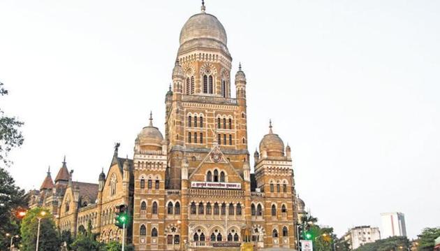
The study spanning two years was commissioned by the Brihanmumbai Municipal Corporation, which spent Rs23 lakh on the first-of-its-kind initiative so as to put in place a disaster management plan for these areas.
The BMC has divided the city into 7,700 grids of 250 sqm each. These grids have been overlaid on a Mumbai map that has details of hospitals, open plots, schools and shelters in every locality.
This will help the disaster management department during rescue operations (see box).
“We are working to modernise the entire disaster response system so that we can improve our response time and the quality of response when an emergency hits,” civic chief Ajoy Mehta told HT.
The department is also creating a detailed response plan in which it will list the number of beds in every hospital, the facilities available at police stations, fire stations and government offices, among others, to ensure minimum damage and loss of life during an earthquake.
READ MORE
BMC corporators to be trained in disaster management
Stay updated with all the Breaking News and Latest News from Mumbai. Click here for comprehensive coverage of top Cities including Bengaluru, Delhi, Hyderabad, and more across India along with Stay informed on the latest happenings in World News.
Stay updated with all the Breaking News and Latest News from Mumbai. Click here for comprehensive coverage of top Cities including Bengaluru, Delhi, Hyderabad, and more across India along with Stay informed on the latest happenings in World News.