Bengaluru moved one step closer to long-pending civic elections as the Karnataka government on Wednesday issued the final ward-delimitation notification for the five new city corporations created under the Greater Bengaluru Governance Act, 2024.
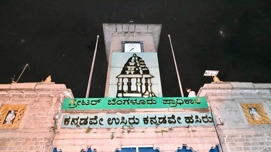
The move formalises a major overhaul of the city’s administrative map and clears the path for the next phase, reservation of wards.
(Also Read: Kiran Mazumdar Shaw, Mohandas Pai welcome footpath on Kundalahalli Main Road: 'Make Bengaluru a walking city')
As per the notification, the total number of wards has been fixed at 369, one more than what was proposed in the earlier draft, The Hindu reported. The additional ward has been allotted to the Bengaluru West City Corporation, which had also drawn the highest number of public responses during the consultation process.
According to the publication, officials from the Greater Bengaluru Authority (GBA) confirmed that the reservation exercise will begin shortly and is expected to take 25–30 days. Once that is completed, residents may finally see civic polls, pending for over four years, take place under the new governance structure.
{{/usCountry}}According to the publication, officials from the Greater Bengaluru Authority (GBA) confirmed that the reservation exercise will begin shortly and is expected to take 25–30 days. Once that is completed, residents may finally see civic polls, pending for over four years, take place under the new governance structure.
{{/usCountry}}The restructuring began after the dissolution of the Bruhat Bengaluru Mahanagara Palike (BBMP) and the formation of the Delimitation Commission on September 2. Five new corporations, North, South, East, West and Central, were subsequently constituted, necessitating a complete redrawing of ward lines.
The Wards Delimitation Commission, headed by M. Maheshwar Rao, submitted its draft on September 30 and opened it for public objections until October 15. A total of 4,892 responses were received, including 2,965 suggestions for the West Corporation alone.
After examining these inputs, the commission presented its final report on November 10, which the government has now accepted.
In the reworked map, ward boundaries have been adjusted to follow clear physical markers such as major roads, while certain ward names have been updated.
For consistency, each Assembly constituency’s wards were renumbered using the serpentine, or boustrophedon, method.
The delimitation rules required each ward to represent roughly 20,000 people, based on the 2011 Census with 2023 population projections applied, and allowed a variation of up to 25%. Wards were also mandated to remain fully within one Assembly constituency, keep community units intact, and account for local terrain in forested or hilly zones.
(Also Read: Karnataka forest team pulls off high-risk rescue of baby elephant stuck in canal. Watch)