E-Paper



Revival of Saraswati river’s old channels can help drain flood waters: CERSR
CERSR director Prof AR Chaudhri said if the ancient channel ways were left as they were, flooding in majority of the houses and damage to crops could have been minimised. He added that the old channels of Saraswati river form a dense network measuring more than 3,000 km in nearly all Haryana districts and could be used as a fast sink for flood waters in future.

 Prefer HTon Google


The Centre of Excellence for Research on Saraswati River (CERSR) at Kurukshetra University which is preparing flood hazard maps for the Saraswati River basin in Haryana has revealed that the old channels of Saraswati river could be used as a fast sink for flood waters in future.
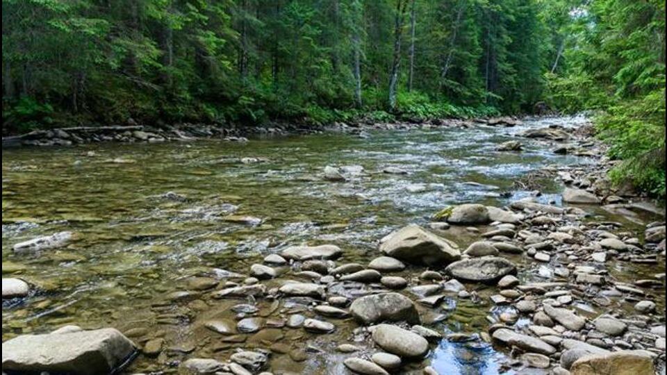
CERSR director Prof AR Chaudhri said that the old channels of Saraswati river form a dense network measuring more than 3,000 km in nearly all Haryana districts and could be used as a fast sink for flood waters in future.
Explaining the process to revive the old channels, Prof Chaudhri said the paleochannels (a deposit of sediment filling the course of an ancient river) of Saraswati river would have to be first demarcated on the ground. “The channel would have to be excavated to a depth of about four metres so as to remove the top fine clay rich soil that hinders water percolation. The brick walled channel with no lining at the bottom would be containing 3-4 metre high perpendicular flow impediments which would block surplus water from flowing downstream in a torrent. Further, the channel so created would need to be desilted each season to maintain its viability,” he said.
Prof Chaudhri said that floods are a great opportunity to understand the natural pathway of water that has been hindered by haphazard mushrooming of habitations, including urbanisation.
“If the ancient channel ways were left as they were, flooding in majority of the houses and damage to crops could have been minimised. Due to lower rainfall and presence of dry fertile land adjacent to fields, there is a tendency to acquire the river tract. This urge results in misery when nature tries to unfold its splendour,” the CERSR director said.
“The CERSR has been working on monitoring the flood scenario. The paleochannel width of the main Saraswati channel which crosses National Highway 44 near Pipli is around 2 km. At present its width has been reduced significantly. Old bathing ghats existed along this channel, but now the majority of the tract has been integrated into agricultural fields. This channel, as per research CERSR findings, has a documented flow history of more than 14,000 years and water was continuously flowing in it till 15th century AD,” he said, quoting an example. A paleochannel is a deposit of sediment filling the course of an ancient river.
Prof Chaudhri said that river tracts of fast-moving channels are dominantly made of well sorted sand.
“This sand, which is bereft of finer particles, acts as a quick sink for rain water. Further, the river channels have connectivity with underground aquifers. Since all the paleochannels are interconnected, excessive rain waters percolating these paleochannels would result in elevating the fast-depleting water table, throughout the state, which is very prudent, considering the rice-wheat-sugarcane cropping pattern adopted by majority of the agrarian community,” he said.
The CERSR findings said that Ambala, Fatehabad, Faridabad, Kurukshetra, Kaithal, Karnal, Panchkula, Panipat, Palwal, Sonepat, Sirsa and Yamunanagar were affected by excessive monsoon inflow and breaching of embankments.
“Damage due to floods in the region has been compounded as majority of farm land in Haryana is sown with paddy and inundated. This resulted in negligible percolation of rain water,” said Prof Chaudhari.
The CERSR director said that the individual paleochannels in Kurukshetra district had an average width of 1.8-2.3 km and a very significant feature has been observed in the flooding pattern of the district.
“The surficial spread of flood water nearly matches the paleochannel width at numerous locations. He said that at some locations, the curvilinear spread of flood waters matched the old paleochannels which were long ago buried by the local peasants and integrated in their agricultural fields,” he said.