
 E-Paper



Chandigarh: This January already wettest since 2017
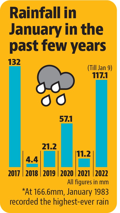
After 95mm rain since January 6, Chandigarh recorded another 22.1mm on Sunday, taking the month’s total so far to 117.1mm; this is highest since 2017 when 132mm rain was received in the month

 Prefer HTon Google


Just nine days in, January this year has already become wettest since 2017, according to the India Meteorological Department (IMD).
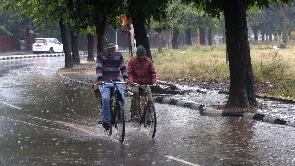
After 95mm rain since January 6, the city recorded another 22.1mm on Sunday, taking the month’s total so far to 117.1mm. This is highest since 2017 when 132mm rain was received in the month.
According to IMD, the normal amount of rain in the first nine days of January should be just 5.5mm, making the current figure more than 20 times above normal.
The all-time highest record for January is 166.6mm, which was recorded in 1983.
Speaking about the recent rain spells, IMD Chandigarh director Manmohan Singh said, “Two strong western disturbances (WD) affected the region one after the other, along with a confluence of moisture-laden winds from the Arabian Sea, which led to a lot of rainfall. During winters, mostly WDs are responsible for rainfall and it’s hard to predict their intensity.”
With the WDs now gone, relief from rain is likely from Monday onwards. But dense fog and a drop in night temperature is on the cards.
“Due to WDs, the minimum temperature had stayed on the higher side and winds had kept haze from forming, but now dense fog can be expected,” Singh said.
Visibility can drop below 200 metres, especially in the early morning hours, for the next three to four days.
Day temperature drops by 8 notches
Meanwhile, the latest rain spell brought city’s maximum temperature down from 21°C on Saturday to 13.2°C, almost eight notches below normal. The minimum temperature also reduced from 13°C to 11.1°C, but was six degrees above normal.
With the rain likely to stop from Monday, the day temperature is expected to go up, but the night temperature may drop further.
Singh said cold wave conditions could also be expected in the coming days.
A cold wave is declared in the plains when the minimum temperature goes below 4°C, or is 10°C or below and also 4.5 notches lesser than the season’s normal for two consecutive days.


