The southwest monsoon staged a substantial recovery in July, but is expected to slow again through August and September, with below-normal rainfall — less than 94% of the long-period average — likely for the remainder of the season, the India Meteorological Department said on Friday.
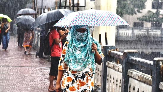
Issuing its long-range forecast for the next two months at a press conference, IMD said El Niño conditions are expected to strengthen further in the coming months, which will weigh negatively on the monsoon’s second half.
IMD director general M Mohapatra said above-normal maximum and minimum temperatures are also likely across most of the country in August, a month that is itself expected to see below-normal rainfall overall, at less than 94% of LPA.
Also Read | Weather Bee: How is India experiencing floods despite a deficit in intense rain?
{{/usCountry}}Also Read | Weather Bee: How is India experiencing floods despite a deficit in intense rain?
{{/usCountry}}The August forecast follows a marked turnaround in July. The season’s cumulative rainfall stood at -13% as of July 30 — a sharp improvement from -40% at the end of June. July itself recorded 283.3mm of rainfall nationally, 1% above the LPA of 280.5mm, reversing IMD’s own forecast for the month, which had projected rainfall at 94% of LPA.
Mohapatra attributed the recovery to a surge in low-pressure systems. “India saw four low pressure systems developing in July over the Bay of Bengal, out of which two intensified further into a depression. These low pressure systems helped bring particularly good rainfall over central India,” he said, noting that Valsad in Gujarat recorded more than 1,000mm of rainfall in a single day during the month. “Despite a moderate El Nino, above normal low pressure system (LPS) days helped negate the effect somewhat,” he added.
July weather
July was also a deadly month. IMD recorded 91 lightning and thunderstorm-related deaths across Uttar Pradesh, Bihar, Madhya Pradesh, Chhattisgarh, Rajasthan, Uttarakhand and Maharashtra, alongside 84 flood-related deaths across Assam, Maharashtra, Jammu and Kashmir, Nagaland, Kerala and Himachal Pradesh.
Also Read | Concern for farmers in UP over 25% less than normal rain in monsoon
Even with the rainfall recovery, July ranked as India’s third warmest since 1901 by all-India mean temperature. Mohapatra attributed this primarily to below-normal rainfall in south Peninsular and northeast India. “If we look at south Peninsular India, this was the second warmest July ever and for east and northeast India, it was the fifth warmest, as these areas saw lesser rain overall,” he said.
August IMD weather prediction
For August, IMD’s bulletin projects below-normal rainfall across most of the country, with exceptions in parts of northwest and central India and isolated pockets of east and northeast India. August typically records 254.9mm of rainfall. The month is expected to begin on a stronger note than it ends, however: normal rainfall is forecast for the first half. “The country as a whole should see normal rains in the first and second week of August, and above normal rains in some parts of west, central, east and peninsular India,” Mohapatra said.
July’s rains also widened the map of relief. The share of districts recording normal-to-excess rainfall rose from 30% (224 districts) at the end of June to 53% (388 districts) by the end of July.
The recovery does not change IMD’s outlook for the season as a whole. In its June forecast, IMD had revised its full-season rainfall projection down from 92% of LPA — its April estimate — to 90%, attaching a 60% probability to an outright deficient monsoon, meaning rainfall falling below even the below-normal threshold. IMD has attributed the season’s overall shortfall to El Niño.
Also Read | Delhi crosses monthly normal of July rain after recent downpour
El Niño continues to intensify
Later in the day, the World Meteorological Organization (WMO) warned that El Niño continues to intensify steadily and is expected to dominate global climate patterns in the August-October 2026 season, increasing the likelihood of above-normal temperatures across much of the world and driving significant shifts in rainfall patterns. “Sea-surface temperature anomalies are expected to exceed 2.9°C in key monitoring regions,” WMO said in a statement.