
 E-Paper



Heavy to very heavy rainfall likely to continue in J&K, Himachal, Uttarakhand: IMD
Heavy to very heavy rainfall was also expected in Kerala, Karnataka, coastal Andhra Pradesh, Telangana, Konkan, Goa, central Maharashtra, Vidarbha, and Chhattisgarh

 Prefer HTon Google


Heavy to very heavy rainfall was likely to continue in Jammu and Kashmir (J&K), Himachal Pradesh, and Uttarakhand and adjoining northern plains over the next three-four days, the India Meteorological Department (IMD) said on Monday.
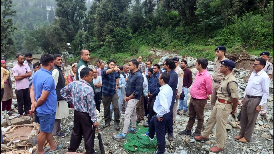
There is a red category warning for J&K and Uttarakhand on Monday, and orange for Himachal Pradesh and Punjab. An orange alert, which implies authorities should be prepared to act, has been sounded for Himachal Pradesh and Uttarakhand on Tuesday.
Heavy rain was also likely in Gangetic West Bengal, Odisha, and Jharkhand from July 23 to 27. Heavy to very heavy rainfall was expected in Kerala, Karnataka, coastal Andhra Pradesh, Telangana, Konkan, Goa, central Maharashtra, Vidarbha, and Chhattisgarh over the next five to seven days.
The western end of the monsoon trough was running north of its normal position. Its eastern end was near its normal position at mean sea level. An upper air cyclonic circulation was over West Rajasthan and adjoining Pakistan in lower tropospheric levels, tilting southwards with height. An upper air cyclonic circulation was over south Odisha and neighbourhood in lower and middle tropospheric levels, tilting southeastwards with height.
An east-west trough was running from north central Karnataka to south coastal Andhra Pradesh in middle tropospheric levels. An upper air cyclonic circulation was over northeast Assam and neighbourhood in lower tropospheric levels. A fresh low-pressure area is likely to form over the north Bay of Bengal around July 24.



