
 E-Paper



Rains lash some parts of Kashmir, wet spell to last till February end: IMD
Kashmir witnessed dry weather for the past more than two weeks as day temperatures hovered around 8 to 9 degrees above normal in most parts.


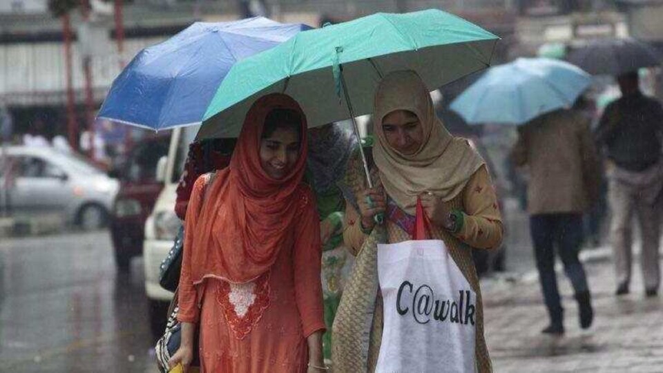
Rains in northern parts of Kashmir since early morning have brought down the temperature. IMD has forecast a wet spell including rain and snow beginning Tuesday till the end of February.
"Under the influence of two Western Disturbances, scattered and widespread rain and snow is most likely in J&K during Feb 22 to end of the month. This system is to affect north Kashmir, Western Ladakh in next two days, central, south kashmir, Pirpanchal and Jammu from 25 Feb onwards," Director, IMD Sonum Lotus said.
He said due to a change in weather conditions there could be heavy rains at some places on February 25 and 26 which may cause a disruption in flights on February 26th.
Western Disturbances – winds blowing from the Mediterranean mostly bring rains or snow in the valley.
After a harsh winter in January, Kashmir witnessed dry weather for the past more than two weeks as day temperatures hovered around 8 to 9 degrees above normal in summer capital Srinagar and other places.
Kashmir has been experiencing the harshest winter in 30 years with temperatures plunging to record levels in the month of January. On January 31, Srinagar recorded a temperature of minus 8.8 degrees C, lowest since the January of 1991.
Also Watch: J&K delimitation controversy; why NC MPs boycotted meet; J&K LG's swipe
There were a number of snow spells as well as chilly nights causing water bodies and water pipes to freeze for weeks.
Kashmir’s winter pans out in three stages, starting with the 40-day intense period from December 21(Chillai Kalan) followed by 20 more days that are less intense (Chillai Khurd) and lastly 10 days of mild cold (Chille Bache).


