
 E-Paper



Widespread rain likely over NW India till July 30: IMD
A well marked low pressure area is over coastal Bangladesh and adjoining West Bengal. It is likely to move westwards across West Bengal, Jharkhand and Bihar during the next 48 hours

 Prefer HTon Google


The spell of widespread and heavy rain over the Western Himalayan region will continue till July 30, according to India Meteorological Department.
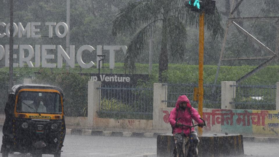
A well marked low pressure area is over coastal Bangladesh and adjoining West Bengal. It is likely to move westwards across West Bengal, Jharkhand and Bihar during the next 48 hours.
The western end of the monsoon trough at mean sea level is passing through north of its normal position while its western end is passing along normal position. A cyclonic circulation is lying over north Pakistan & adjoining Punjab in the lower levels. A line of convergence is running from the cyclonic circulation over north Pakistan & adjoining Punjab to south Gujarat across West Rajasthan.
Under the influence of these systems, the current spell of widespread rainfall activity with isolated heavy to very heavy falls is very likely to continue over Jammu and Kashmir, Himachal Pradesh, Uttrakhand, Punjab, Haryana and Uttar Pradesh till July 30 and reduction thereafter. Isolated extremely heavy rain (over 20cm) is likely over Uttarakhand on Thursday.
Widespread rain with heavy to very heavy falls is likely over Odisha, Gangetic West Bengal, Jharkhand, and Bihar till July 30 and over East Madhya Pradesh and Chhattisgarh till July 31. Isolated extremely heavy rain is likely over the Gangetic West Bengal, Jharkhand, and Chhattisgarh.


