
 E-Paper



Delhi pollution: CAQM to use wheat harvesting season to fine-tune satellite mapping of farm fires
During the wheat harvest, CAQM will refine satellite models to assess crop residue burning, finding discrepancies between satellite data and ground reality.

 Prefer HTon Google


New Delhi
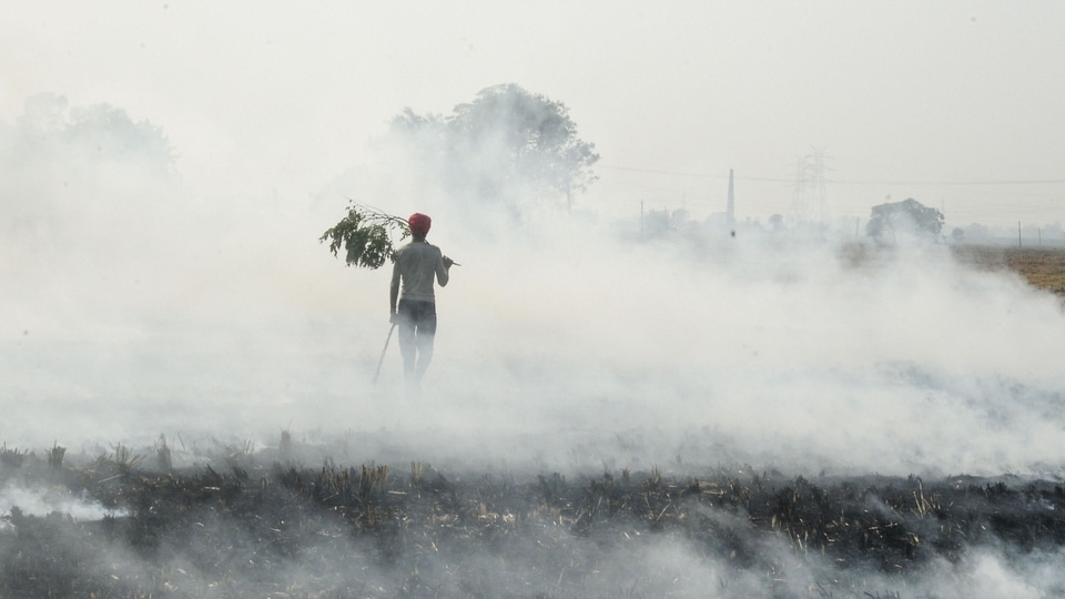
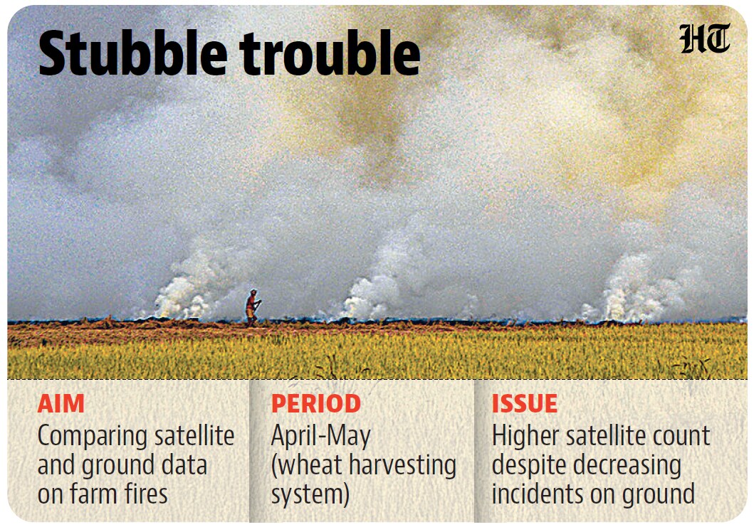
The upcoming wheat harvesting season, typically lasting through April and May, will be used to fine-tune satellite-based modelling to identify the total burnt area of crop residue, given that the model currently shows greater burnt area than the ground reality, officials of the Commission for Air Quality Management (CAQM) said.
A senior CAQM official, who did not wish to be named, said they will use a combination of farm fire counts and the total burnt area to assess how states fare moving forward, and they were working on refining their algorithms.
“We will be using this upcoming summer harvest window to assess burnt area, with on-ground checks to be carried out in April and May. In the previous harvesting season, we not only found lesser burnt area on ground than what the model was showing, but the intensity on ground was also much less as compared to what appears on the model,” the official said, adding factors like humidity, soil moisture and type will be assessed.
“Presently, the satellite data being used gives a 20x20 metre resolution, allowing our teams to scour a 400-metre radius to identify and tally burnt area,” the official said.
Last month, CAQM issued directions to Punjab, Haryana and Uttar Pradesh, calling for coordinated and time-bound implementation of state-level action plans to prevent and eliminate wheat stubble burning during the 2026 summer harvesting season. This included mapping each farm in every village for management, interventions, tagging specific nodal officers to a group of farmers, constituting a “Parali Protection Force” (PPF) at the district or block level and intensifying patrolling during late evening hours.
The official said states have also been asked to use drones, particularly in late evening hours, to identify stubble burning. “We will use both farm fire counts and burnt area to tally progress of states. We have also taken note of reports suggesting that farmers are burning fields later in the day to avoid satellite captures, but it will still show up as burnt area,” the official said.
Last year, multiple studies revealed that farmers were setting fields ablaze much later in the day to evade satellite capture, resulting in a lower farm-fire count. One such study by environmental think-tank International Forum for Environment, Sustainability and Technology (iFOREST) in December 2025 found this was true across both Punjab and Haryana, with most fires being observed after 3pm. It also assessed the total burnt area, with findings indicating a reduction of 25–35%.
As part of the study, Sentinel-2 satellite’s burnt-area mapping showed that the burnt cropland in Punjab fell from 31,447 square kilometres in 2022 to roughly 20,000 sqkm in 2025—a 37% reduction. In Haryana, the burnt area decreased from 11,633sqkm in 2019 to 8,812sqkm in 2025—a 25% dip, as per the study.


Stay updated with all top Cities including, Bengaluru, Delhi, Mumbai and more across India. Stay informed on the latest happenings in World News along with Delhi Election 2025 and Delhi Election Result 2025 Live, New Delhi Election Result Live, Kalkaji Election Result Live at Hindustan Times.


