
 E-Paper



Mercury drops as rain makes a return in Delhi
IMD readings showed that in most parts of the Capital, wind blew with speeds up to 40kmph on Saturday.

 Prefer HTon Google


Cloudy skies, light rain and gusty winds swept across the Capital on Saturday too, causing a further drop in temperature, as the India Meteorological Department (IMD) forecast intermittent showers to continue in the Capital till Tuesday.
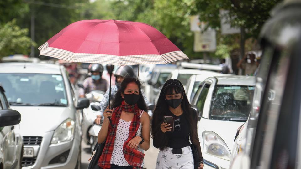
The maximum temperature recorded at the Safdarjung weather station, which is considered to representational for the entire city, was 42.3 degrees Celsius (°C) -- three degrees above normal but 1.1 degrees down from a day ago.After braving temperatures well above normal for nearly three months now, light rains, thunderstorm and gusty winds brought a much-needed respite on Friday evening.
IMD readings showed that in most parts of the Capital, wind blew with speeds up to 40kmph on Saturday. Data till 8.30pm showed trace rainfall at Safdarjung and Palam weather stations. Met officials said that strong winds and light rain was expected to continue across Delhi-NCR till Saturday night.
IMD forecasters said that under the impact of two back-to-back western disturbances, parts of northwest and central India, including Delhi, Haryana, Uttar Pradesh, Himachal Pradesh, Uttarakhand and Rajasthan, are likely to receive intermittent rains, thunderstorm activities coupled with gusty winds till May 24. The rains are expected to peak on May 23, according to Met officials.
“Heatwave conditions have abated in northwest India and temperatures are likely to come down further with consistent pre-monsoon activities over the next three days. There will be a significant reduction, of around 3-5 degrees, after May 23,” said a senior Met official.
The official said that over central India, there would be no significant drop in daytime temperatures at least till Sunday, after which there is a chance for two-four degree drop in mercury.
Mahesh Palawat, vice-president (meteorology and climate change), Skymet Weather Services, said that though heatwave will abate from the region under the impact of cloudy weather and rain, humidity levels will start increasing in the coming weeks due to pre-monsoon activity starting in the region.
“What we are experiencing now are high temperatures, which is essentially dry heat, but with increasing pre-monsoon activities, the moisture level in the air will gradually increase. This, coupled with high temperatures, will make the weather more uncomfortable,” said Palawat.
According to the IMD forecast, widespread light to moderate rainfall, with isolated heavy rainfall activity is also likely over parts of Arunachal Pradesh, Assam, Meghalaya, Nagaland, Manipur, Mizoram, Tripura, sub-Himalayan West Bengal, and Sikkim in the next two days. The intensity of rainfall is forecast to reduce after May 23.
The IMD also warned of a cyclonic circulation over Rayalaseema, which is expected to bring widespread light to moderate rain, with isolated thunderstorms, lightning and gusty winds over Kerala for the next five days and over Karnataka till May 22.


