
 E-Paper



Weather Bee: Western disturbances have kept summer cool, but not brought enough snow
Snowfall from western disturbances in March and April has been far from enough to make up for the deficit left by earlier years.

 Prefer HTon Google


Northern India has had a relatively pleasant summer since the second half of March. This is thanks to storms originating in the Mediterranean region, called western disturbances, that bring precipitation to northern India, especially in non-monsoon months. These storms have arrived frequently enough in March and April to keep the skies cloudy and temperatures down. However, an HT analysis shows that these storms have failed to fix one problem that is becoming more acute almost every year. This is the problem of declining snow pack. This suggests that the March-April western disturbances have not been strong enough in March and April to make up for their absence in the winter season.
That western disturbances have been frequent in March and April, and were not in the December-February period – this is considered as the winter season by the India Meteorological Department (IMD) – can be seen from the trend in number of days of rain in the hilly regions in northern India. Days of rain in December 2025-February 2026 were 44%-66% less than the average days of rain seen in the same months in the 1971-2020 period – called the Long Period Average (LPA) – across Uttarakhand, Himachal Pradesh, Jammu and Kashmir and Ladakh. On the other hand, this deficit is 11% or less in the March 1-April 9 period.
To be sure, these trends must be read with the fact that they are state/UT-wide trends. Unless dryness is widespread, it is not difficult for areas as large as a state in India – Jammu and Kashmir and Ladakh are bigger in area than even some states – to record rain in at least a small sub-region, which is enough for the state as a whole to record a day of rain.
However, even the state-level numbers are sufficient to highlight the contrast between winter and summer western disturbance frequency. The days of rain in the 90-day December-February period in Himachal Pradesh, Jammu and Kashmir, and Ladakh are similar to the days of rain in the 40-day period from March 1 to April 9. Uttarakhand has got almost twice the number of days of rain in March and April than it did in the December-February period.

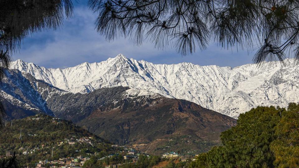
Clearly, there have been frequent western disturbances in March-April. However, this has not been sufficient to increase snow pack to historical levels. Satellite derived data on snow pack in the two states and two UTs shows that the average snow pack on April 7 (latest available) was 315.55 mm. This is 28.5% less than the average snow pack on April 7 in the 2001-2020 period, the earliest 20 years for which this data is available. While this deficit is an improvement compared to the 32.5% deficit on March 8, it is the highest the deficit has ever been on April 7.
To be sure, a high snow pack deficit would be acceptable if more buildup was expected. However, the 2001-2020 average shows that the snow pack in the region peaks on April 21 at 446.63 mm. This means that the current snow cycle – it runs from October to September – will need another 131.1 mm of snow pack in two weeks for a 0% deficit. This is almost the same as the difference between the highest and lowest daily snow pack in the 2001-2020 average. In other words, the current snow cycle will need a season’s worth of snow pack addition in two weeks to reach a 0% deficit in two weeks, which cannot happen without disasters like avalanches and landslides.

These trends suggest that snowfall from western disturbances in March and April has been far from enough to make up for the deficit left by earlier years and the just concluded winter. This is bad news for the water flow in rivers of the Indian plains, which originate from the Himalayas, and are somewhat dependent on snow melt for their water.



