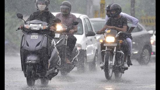
The depression over north Chhattisgarh and its neighbouring areas moved further west-northwestwards and lay centered over north Chhattisgarh and adjoining east Madhya Pradesh on Tuesday night. The depression is likely to bring widespread rain central and west India till Friday; rain is likely to increase over northwest India from Thursday onwards, according to India Meteorological Department (IMD).
Also Read | Gujarat CM Bhupendra Patel visits flood-hit areas as IMD forecasts more rain
It is very likely to weaken into a well marked low pressure area today and continue to move west-northwestwards across Madhya Pradesh during the next 48 hours. The cyclonic circulation over south Gujarat region also persists. The monsoon trough is lying south of its normal position. It is very likely to remain south of its normal position during the next 3-4 days. Widespread and heavy rain is likely over Chhattisgarh, Gangetic West Bengal and Interior Odisha with isolated heavy to very heavy rain till Wednesday. Widespread and very heavy rain is very likely over north Konkan, north Madhya Maharashtra, Gujarat, east Rajasthan, Madhya Pradesh during the next 3-4 days. Isolated extremely heavy rain (over 20cm) are likely over east Madhya Pradesh; Gujarat and over West Madhya Pradesh today
Increase in rainfall is likely over parts of northwest India with fresh spell of heavy rainfall at isolated places over Haryana, Rajasthan and west Uttar Pradesh from Thursday onwards. A cyclonic circulation likely to develop over north Bay of Bengal on Friday. It is likely again to move west-northwestwards towards Odisha- West Bengal coast during the subsequent 48 hours. This is likely to cause fresh spell of enhanced rainfall activity over eastern parts of India including Odisha and West Bengal.
{{/usCountry}}Increase in rainfall is likely over parts of northwest India with fresh spell of heavy rainfall at isolated places over Haryana, Rajasthan and west Uttar Pradesh from Thursday onwards. A cyclonic circulation likely to develop over north Bay of Bengal on Friday. It is likely again to move west-northwestwards towards Odisha- West Bengal coast during the subsequent 48 hours. This is likely to cause fresh spell of enhanced rainfall activity over eastern parts of India including Odisha and West Bengal.
{{/usCountry}}