Minimum temperature has started dropping over many parts of northwest India after the western disturbance that affected the western Himalayas on January 7 and 8, passed. Delhi recorded a minimum temperature of 7.8 degrees Celsius on Sunday compared to 10.8 degree C on Saturday.
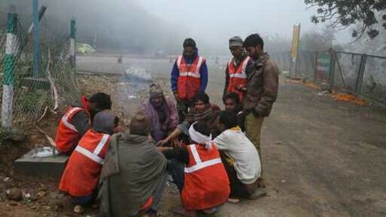
Due to dry north/north westerly winds over most parts of northwest India, minimum temperatures are likely to fall further gradually by 3 to 5 degree C during the next 3-4 days, causing cold wave conditions over Punjab, Haryana and north Rajasthan from January 11 to 13, as per the weather forecast.
Under the influence of cyclonic circulation over southeast Arabian Sea and another cyclonic circulation over Sri Lanka and neighbourhood, scattered to fairly widespread rainfall with moderate thunderstorm and lightning is very likely over southern peninsular India during the next 3-4 days, according to the met department.
Heavy to very heavy rainfall is likely over Tamil Nadu, Puducherry and Karaikal during January 9 to 11 and isolated heavy rainfall is likely over Kerala and Mahe during the same period, the weather department forecast said.
Due to a trough (area of low pressure) in low level easterlies from southeast Arabian Sea to northwest Madhya Pradesh, scattered rainfall with isolated thunderstorm and lightning is very likely over Maharashtra, Goa, Gujarat and West Madhya Pradesh during the next 12 hours, the forecast said.
{{/usCountry}}Due to a trough (area of low pressure) in low level easterlies from southeast Arabian Sea to northwest Madhya Pradesh, scattered rainfall with isolated thunderstorm and lightning is very likely over Maharashtra, Goa, Gujarat and West Madhya Pradesh during the next 12 hours, the forecast said.
{{/usCountry}}