
 E-Paper



Tremors in Uttarakhand raise fears of powerful earthquake
The region, which lies on the boundary of the Indian tectonic plate and is prone to heavy seismic activity, experienced at least three tremors in December 2017.


An earthquake of magnitude 3.2 struck Uttarakhand’s Uttarkashi district on Monday morning, the latest in a string of tremors felt in the region, raising fears that a more powerful temblor could hit it anytime in the future.
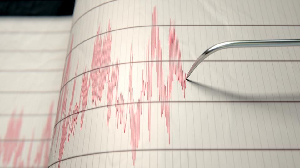
The region, which lies on the boundary of the Indian tectonic plate and is prone to heavy seismic activity, experienced at least three tremors in December 2017. A group of Indian scientists noted last year that there was a high probability that a major earthquake measuring 7 or more on the Richter Scale could hit Uttarakhand.
The hilly state in north India that lies in the Central Seismic Gap — a portion of the Himalayan front — has not been hit by a major quake in the past 200-600 years. An earthquake of high intensity could prove catastrophic as proven by the last big temblor that struck the region in 1991. A 6.6 magnitude quake that had low intensity but large impact devastated Garhwal, especially Uttarkashi, Tehri and Chamoli districts early on October 20. Major cities in the area, including Dehradun and Almora, were affected, while the tremors were felt as far away as Pune.
The area experienced 58 aftershocks till November 28, 1991, and the official death toll was 769.
Seismic activity is also a major cause of landslides. About 12.6% of India’s land area, which does not include snow-covered terrains, is at risk from landslides that impact the lives of almost six crore Indians. Experts warn that if the government does not regulate the construction of high-rise buildings and hydroelectric projects in the region, the effect would be catastrophic.
According to the Geological Survey of India (GSI), “The rapid pace of development in mountainous and hilly regions has led to increasing occurrence of landslides, especially in areas that were not at risk before.”
In one of the worst disasters in India’s history, over 4,000 people died in Uttarakhand and Himachal Pradesh during the massive floods in 2013. The rainfall was unprecedented and the unplanned constructions along mountainous areas worsened the impact of the heavy rains as swollen rivers swept away entire villages. Experts have also warned that the 260.5 metre-high Tehri dam on the Bhagirathi river may be damaged as it sits in mountains prone to earthquakes.


