
 E-Paper



Widespread rain expected in peninsular India over next few days, says IMD
A low-pressure area is likely to develop over southeast Bay of Bengal on Thursday and bring widespread rain to peninsular India, the India Meteorological Department said


A low-pressure area is likely to develop over southeast Bay of Bengal on Thursday and bring widespread rain to peninsular India, the India Meteorological Department (IMD) said.
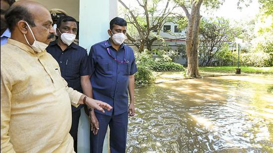
A cyclonic circulation lying over southwest and adjoining southeast Bay of Bengal was likely to lead to a low-pressure area over southwest Bay of Bengal during the next 12 hours. It is likely to move west-northwestwards towards Sri Lanka and south Tamil Nadu coast.
A trough ( line of low pressure) is running from the cyclonic circulation over southwest and adjoining southeast Bay of Bengal to south Tamil Nadu in lower tropospheric levels.
IMD said light to moderate scattered/fairly widespread rainfall was very likely in coastal Andhra Pradesh and Yanam, Rayalaseema, south Interior Karnataka, Kerala, Mahe, Tami Nadu, Puducherry, and Karaikal during the next five days.
Isolated heavy to very heavy rainfall was very likely in Tamil Nadu, Puducherry, and Karaikal until November 28. It was also very likely in south Coastal Andhra Pradesh and Yanam. Isolated heavy to very heavy rainfall was very likely in south Coastal Andhra Pradesh and Yanam and Rayalaseema over the weekend. Isolated heavy rainfall was also very likely in Kerala and Mahe until November 28.
Squally wind (speed reaching 40-50kmph gusting to 60kmph) was likely in southwest Bay of Bengal, Gulf of Mannar along and off south Tamil Nadu coast on Thursday. Fishermen have been advised against venturing into these areas.
The IMD said a gradual fall in minimum temperatures by 2-4°C was very likely in parts of East India during the next two days.


