
 E-Paper



Why India must pay close attention to the floods in Pakistan
It would be dangerous for India to ignore the larger context of global processes driving these floods which are present over central-western and northwestern India as well.

 Prefer HTon Google


The crippling floods in Pakistan have also been deadly. Much is being written about the causes of this flood with the usual homilies about the role of the climate crisis in exacerbating this flood. And yet, it would be dangerous for India to ignore the larger context of global processes driving these floods which are present over central-western and northwestern India as well.
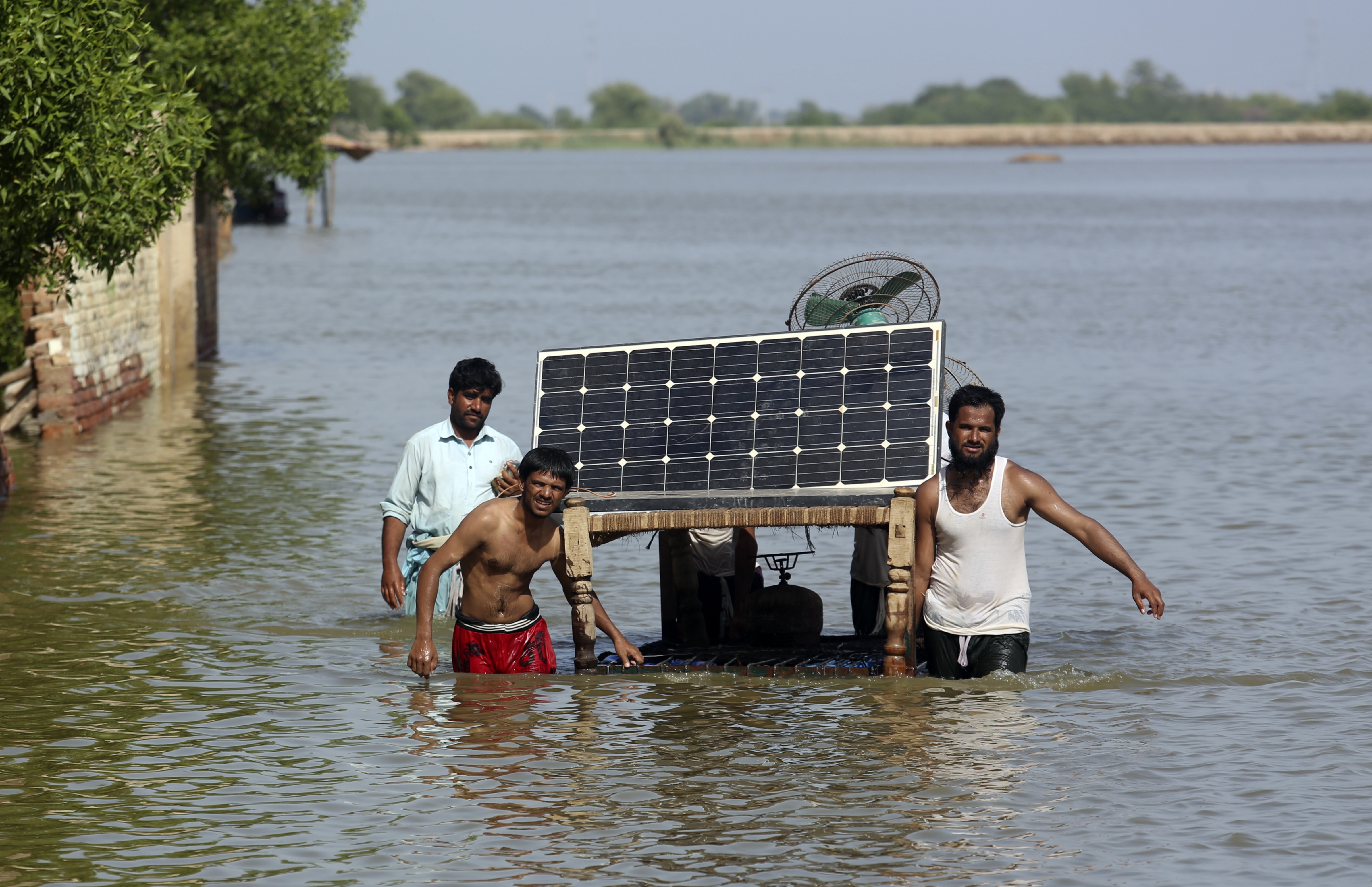
The drivers of these floods are reaching in from far and wide; from the Atlantic into the Pacific and back over to the Arabian Sea — flooding not only Pakistan but also northern Maharashtra, western Madhya Pradesh, Gujarat, and into Rajasthan and Punjab. For example, many locations in Gujarat saw rainfall totals swing from serious deficits this season to significant surpluses in just a few days. The death toll in India has also crossed a thousand albeit in different states and different events.
The Pakistan floods are very much related to the circulation changes affecting central-western and northwestern India. We can see ocean and land warming and circulation changes affecting the subcontinent, starting with the monsoon over Pakistan.
The southwesterly winds that sweep across the Arabian Sea over to India shipping in 200 lakh crore buckets of water during the monsoon do not reach Pakistan directly. Pakistan’s monsoon season is related to the arrival of the monsoon trough into northern India, with a majority of the moisture supply arriving from the Bay of Bengal. The onset of the monsoon happens only in early July. Pakistan is essentially an extension of the desert northwest India with rainfall amounts mostly below 500mm except for the northeastern corner where the totals can reach as high as 900mm. As with the Indian monsoon, everything about the Pakistan monsoon is also changing — the onset, the withdrawal, the length of the rainy season, seasonal totals and extreme events.
What's unique about Pakistan’s monsoonal circulation is that it is a mix of monsoonal winds in the east meeting the northerly and northwesterly winds in the west. The confluence of these winds can set up cyclonic circulations over Pakistan during the monsoon which are now being made more frequent by the northward shift in the southwesterly winds over the Arabian Sea. The northern Arabian Sea has warmed rapidly and can pump in boatloads of moisture.
The land itself has warmed much faster from West Asia to Pakistan, contributing to the northward shift of the southwesterly winds. The Arabian Sea in the northern reaches has warmed significantly as well because of a combination of the Atlantic Multidecadal Oscillation (AMO) warm pattern and its influence on the western Pacific. The AMO is able to warm the Arabian Sea directly during the winter months and also facilitate the warming during spring via its influence on the western Pacific which is another warming hotspot.
As we know from the El Niño and La Niña impacts on the Indian monsoon and the global weather patterns, what happens in the Pacific does not stay in the Pacific. The western Pacific sustains the Arabian Sea warming into spring and the southwesterly wind changes feed on this warmer ocean. The net result has been that rainfall over Kerala has seen a decrease in recent decades whereas the northern end of the Western Ghats into Gujarat and Pakistan have seen an increase in rainfall intensity.
In other words, the Pakistan floods are not an isolated pattern. They are very much related to ocean warming and circulation changes in our own backyard as well. This should raise a flag for India because it is likely that such devastating floods may also occur a little further to the east over central-western and northwestern India as well. This season has been the flag bearer of this potential for large-scale flooding.
India has been fortunate to have avoided such submerging large-scale floods in this region so far but a similar increase in widespread floods has also been occurring over central India. It would be a subcontinental scale flood if the two regions of widespread floods were to occur at the same time.
India has a multi-scale prediction system from short (1-3 days), medium (3-10 days), to extended (weeks 2-4) range weather forecasts. However, as the floods in Bengaluru this week have shown, monumental changes are needed to be able to brave these floods, without our cities crumbling. India’s forecast system has shown steady progress thanks to the massive investments in human and computational resources. India also has training programmes for many of the neighbouring countries near and far in the use of these forecasts and the forecasts are also shared with many neighbours. It is now time to acknowledge that the climate vulnerabilities of the neighbours are not only of great concern for India’s climate vulnerability and economic development, but also note that some of these could grow into national security issues.
Dr Raghu Murtugudde is visiting professor Indian Institute of Technology Bombay, emeritus professor University of Maryland
Te


