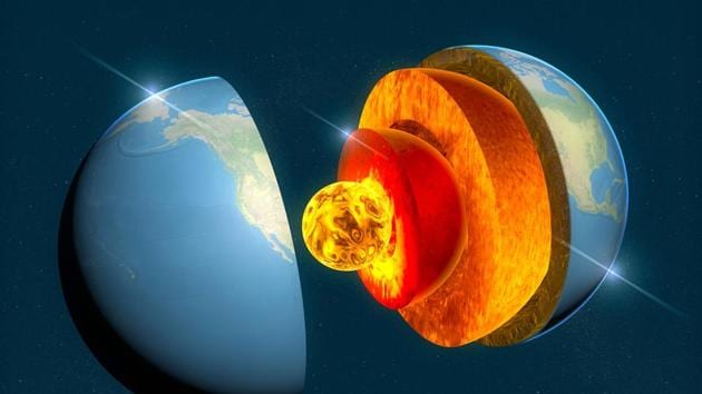
Scientists have discovered previously unknown structures deep inside the Earth – at a depth of around 2,900 km – paving the way towards a new map that shows details of what Earth’s interior looks like, just above the liquid iron core.
The research by geophysicists at the University of Maryland (UMD) was published in the journal Science.
Using a technique called the ‘Sequencer’ that was originally designed to explore the cosmos, thousands of seismograms –records of vibrations of earth following an earthquake – from the past 30 years were analysed. The analysis has detected widespread, heterogenous structures – areas of unusually dense, hot rock – at the core-mantle boundary than previously known.
Doyeon Kim, the lead author of the research, says that analysing thousands of echoes instead of just a few has given a totally new perspective.
“By looking at thousands of core-mantle boundary echoes at once, instead of focusing on a few at a time, as is usually done, we have gotten a totally new perspective,” said Kim, a postdoctoral fellow in the UMD Department of Geology. “This is showing us that the core-mantle boundary region has lots of structures that can produce these echoes, and that was something we didn’t realize before because we only had a narrow view.”
The map created by the UMD team shows a large area under the Pacific and reveals hot and dense regions below Hawaii and the Marquesas islands in French Polynesia.
{{/usCountry}}The map created by the UMD team shows a large area under the Pacific and reveals hot and dense regions below Hawaii and the Marquesas islands in French Polynesia.
{{/usCountry}}“We were surprised to find such a big feature beneath the Marquesas Islands that we didn’t even know existed before,” said Vedran Lekic, a co-author of the study.
“This is really exciting, because it shows how the Sequencer algorithm can help us to contextualize seismogram data across the globe in a way we couldn’t before.”