The scientists of Indian Institute of Technology (IIT) Mandi in Himachal Pradesh have developed a fully functional Landslide Early Warning System (LEWS) system for the Indian Himalayan region.
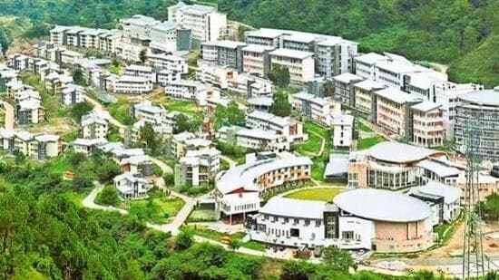
The researchers said that in contrast to other such systems in India, which have their limitations in terms of the geographic scale, the LEWS implemented by IIT Mandi is applied throughout the Indian Himalayan region. It is also one of the most extensive systems designed for the country. The research has been led by professor Dericks Praise Shukla from the School of Civil and Environmental Engineering, IIT Mandi, along with research scholars Ankit Singh and Nitesh Dhiman.
A LEWS is a warning system which forecasts and monitors the probability of landslides based on data regarding the susceptibility of the topography along with rainfall in real time.
Warnings will be issued to the regions where the risk of landslides exist so that necessary precautions can be taken timely.
The IIT Mandi researchers said that the system has been created through a multi-stage approach. At first, almost 26,000 landslides were identified from the Geological Survey of India (GSI) database to create a map of landslide susceptibility. A variety of landslide triggering factors were combined using ensemble machine learning models.
Following this, the P-RIL (Probability of Rainfall-Induced Landslides) model was constructed using information derived from the NASA Global Landslide Catalogue and seven rainfall parameters collected from IMERG satellite datasets. Since rainfall conditions are always changing, the P-RIL model is a dynamic one because it makes use of rainfall data from the past 15 days.
The final daily landslide prediction was calculated through the integration of the static susceptibility map and the dynamic P-RIL model based on probability analysis. For better interpretation of the predictions, percentile-based categories of risks are used.
{{/usCountry}}The final daily landslide prediction was calculated through the integration of the static susceptibility map and the dynamic P-RIL model based on probability analysis. For better interpretation of the predictions, percentile-based categories of risks are used.
{{/usCountry}}The daily landslide forecast is derived using the probabilistic approach of combining the static susceptibility map with the dynamic P-RIL model. For making the outputs understandable for the users, the landslide forecasts are provided in terms of risk categories using percentiles.
To facilitate easy access and dissemination of information to the stakeholders, the IIT Mandi team has developed a Google Earth Engine (GEE) based web portal through which users can view landslide forecasts for the current day along with the previous three days. Furthermore, users can also download bulletins in PDF format and get WhatsApp alerts of the chosen locations.
Prof Shukla said, “At the very onset of the monsoon, the LEWS provides daily landslide forecasts through a web-based application. The system is designed to help identify high-risk areas in advance, enabling authorities and communities to undertake timely evacuation and disaster preparedness measures.”
“Satellite-based early warning systems are among the most effective investments in disaster risk reduction as they transform scientific data into timely, actionable decisions. A region-wide landslide forecasting platform like this has the potential to significantly strengthen preparedness, enable faster response, and enhance coordination among disaster management agencies, particularly during the monsoon season when landslide risks are at their highest,” he added.