
 E-Paper



Trace rain raises visibility, minimum temperature in Delhi
The impact of a western disturbance will remain until Friday before temperatures will start dipping again from Saturday with the return of cold northwesterly winds

 Prefer HTon Google


Trace rainfall, or precipitation too small to be measured, was recorded at the Safdarjung observatory on Thursday, 91 days after Delhi last received any rain, even as air pollution levels remained in the “very poor” category and shallow fog enveloped the city.
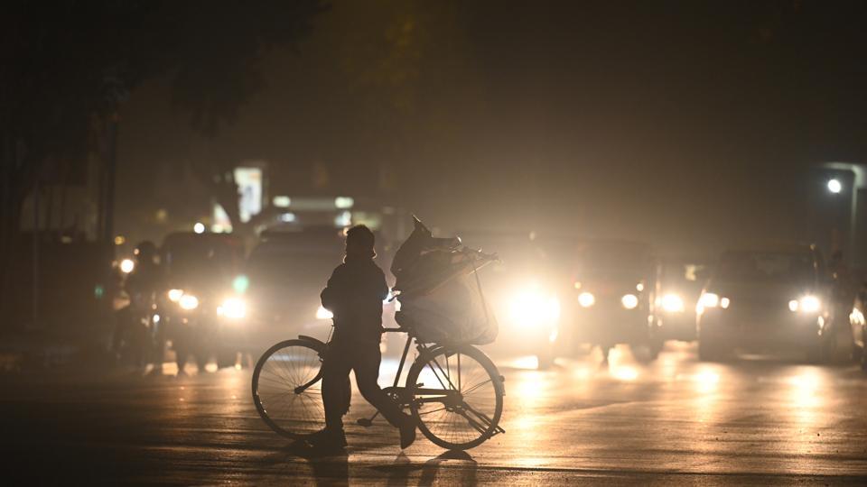
A western disturbance influencing weather in the region caused the rain and raised both visibility and the minimum temperature to 9.3°C, two notches above the normal, compared to 5.9°C on Wednesday.
The shallow fog enveloped the city in the early hours as the visibility dropped to 800 metres at Safdarjung and Palam. The visibility fell to as low as 50 metres on Wednesday morning.
An India Meteorological Department (IMD) official said the visibility has significantly improved in Punjab, Haryana, Delhi, Rajasthan, and western Uttar Pradesh due to the western disturbance and consequent stronger surface winds.
Minimum temperatures generally rise when western disturbances influence weather. Cold northwesterly winds were no longer blowing. A combination of cloudy skies and low temperatures trap heat along with a lack of northwesterly winds.
The Safdarjung observatory last recorded 0.4mm of rain on October 12. There was also a similar dry spell in 2018 when the city recorded no rain for 72 days between January 24 and April 7. Delhi received no rain for 82 days in 2011 between September 17 and December.
As per Delhi’s long-period average, Delhi receives 6mm of rainfall in November and 8.1mm in December. The normal rainfall for January is 19.1mm.
Delhi was likely to record a maximum temperature of 19°C, a notch higher compared to Wednesday. The impact of the western disturbance will remain until Friday. Temperatures will start dipping again from Saturday when cold northwesterly winds return.
“We can expect similar temperatures on Friday but dense fog will return as there is more moisture in the air now. Both maximum and minimum temperatures will drop from Saturday,” said the IMD official.
According to the Central Pollution Control Board, the hourly air quality index (AQI) was 345 at 7am on Thursday. The average 24-hour AQI was 308 at 4pm on Wednesday.
An AQI between zero and 50 is considered good, 51 and 100 satisfactory, 101 and 200 moderate, 201 and 300 poor, 301 and 400 very poor, and 401 and 500 severe. The AQI in the poor category leads to breathing discomfort for most people on prolonged exposure.
On Thursday, the monitoring agency System of Air Quality and Weather Forecasting and Research said fine particles (size < 2.5 micrometer) contributed ~ 64% to PM10. “For the next 3 days, surface wind speed (12 to 16 km/h) and temperature (Max 18-20 deg C; Min 8-9 deg C) are likely to improve air quality. Mixing layer height is likely to be ~ 1.0 km that causes moderate ventilation of pollutants.”
The air quality was likely to improve but remain “very poor” for the next three days due to low temperatures, which help the accumulation of pollutants, and moderate surface winds that cause moderate dispersion of pollutants. “Morning fog is likely at isolated places. Wind flow from northwest region experiencing subsided cold wave is likely to increase the temperature for next 3 days that improves air quality.”


