
 E-Paper



Cyclone Jawad: What we know so far about its formation and movement path
The IMD said in its latest bulletin that a well-marked low-pressure area currently lies over the southeast Bay of Bengal, which is expected to intensify into a depression and subsequently into a cyclonic storm on December 3.

 Prefer HTon Google


As many as eight teams of the National Disaster Response Force (NDRF) have been deployed in West Bengal in the wake of the formation and arrival of cyclone Jawad, news agency ANI reported on Thursday. The NDRF teams will be deployed in the eastern state by Thursday night.
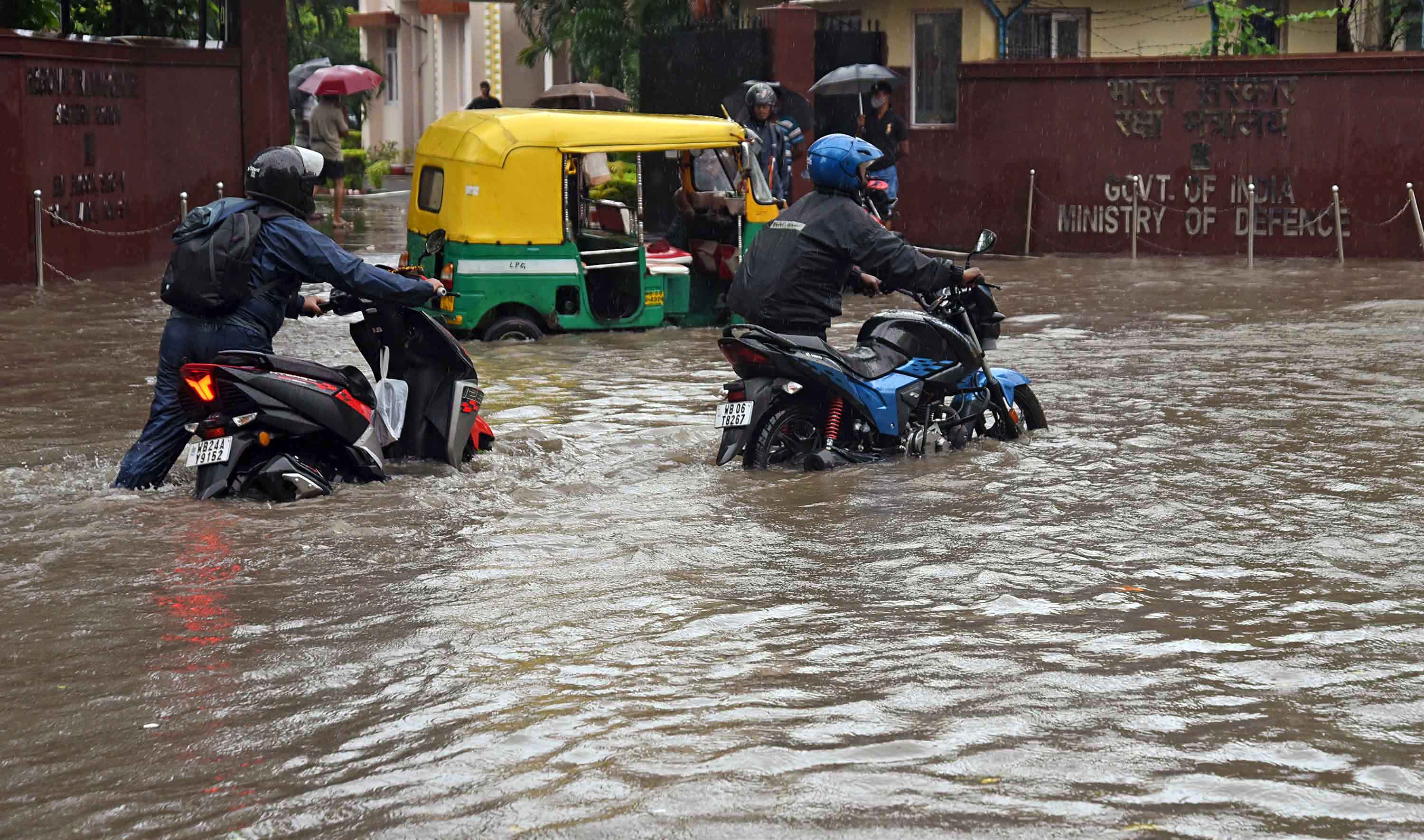
In its latest bulletin, the India Meteorological Department (IMD) noted that a well-marked low-pressure area currently lies over the southeast Bay of Bengal, and it is expected to move west northwestwards and intensify into a depression during the next 12 hours. The depression will then move northwestwards and turn into a cyclonic storm over the central parts of Bay of Bengal in the subsequent 24 hours. This cyclonic storm – known as cyclone Jawad -- is expected to reach the coast of Andhra Pradesh and Odisha on December 4 morning.
To be more specific, the weather department said that the formation of the cyclonic storm over the central Bay of Bengal will happen on December 3.
Also Read | These southern states to get above normal rainfall from Dec till Feb: IMD
Red, orange and yellow alerts have been issued in multiple districts of Odisha. The state government has also directed collectors of 13 districts to make arrangements for evacuating people in their regions ahead of cyclone Jawad’s landfall.
IMD scientist Umashankar Das told news agency ANI that wind speed in coastal areas of states that are expected to be impacted by cyclone Jawad would be around 60-80kmph from December 4 afternoon. He also advised people to stay indoors, citing that there is a possibility of landslides in hilly areas due to the cyclonic storm.
Meanwhile, Prime Minister Narendra Modi chaired a vital meeting earlier in the day to discuss the cyclone-related scenario in India.
Here are all the latest updates regarding cyclone Jawad’s formation and arrival:
- According to the latest IMD bulletin, light to moderate rainfall with isolated heavy to very heavy rainfall will occur over Andaman and Nicobar Islands, and south coastal Odisha and north coastal Andhra Pradesh on Thursday and Friday.
- Owing to expected formation of cyclone Jawad and it reaching the coasts of Andhra Pradesh and Odisha on December 4 morning, the day along with December 5 will bring heavy to extremely heavy downpours in both the states and also Gangetic West Bengal. The IMD has issued rainfall alert in northeastern states of Tripura, Meghalaya and Assam also.
- Fishermen have been advised to return to the coast with “immediate effect” and not to further venture out into the Andaman Sea as well as Bay of Bengal between December 2 and 5.
- Cyclone Jawad is likely to make an impact in Vishakhapatnam, Vijayanagaram and Srikakulam in Andhra Pradesh along with coastal districts of Odisha and West Bengal.
- The IMD has issued a red alert in Ganjam, Puri, Gajapati and Jagatsinghpur districts of Odisha, and an orange alert in Cuttack, Nayagarh, Khurda, Kandhamal, Rayagada, Kendrapara and Koraput districts for December 4. Moreover, a yellow alert has been issued in Jajpur, Bhadrak, Malkangiri and Balasore districts of Odisha on the same day.
- Union cabinet secretary Rajiv Gauba on Wednesday held a meeting of the National Crisis Management Committee (NCMC) wherein the preparedness of central ministries and agencies ahead of cyclone Jawad landfall was reviewed. He stressed on the need for fishermen and ship at sea to return to the coast immediately and people in vulnerable regions to be evacuated to safe zones at the earliest.
- Union cabinet secretary Rajiv Gauba on Wednesday held a meeting of the National Crisis Management Committee (NCMC) wherein the preparedness of central ministries and agencies ahead of cyclone Jawad landfall was reviewed. He stressed on fishermen and ship at sea immediately returning to the coast and people in vulnerable regions to be evacuated to safe zones at the earliest.
- Odisha government has formed a disaster management strategy to conduct rescue and relief operations. The NDRF, Odisha Disaster Rapid Action Force and fire department personnel have been called on for the tasks. Meanwhile, Odisha relief commissioner PK Jena stated in an advisory that the sea condition prior to the formation of cyclonic storm will be very tough with wind speed reaching 45 to 55 kmph, gusting to 65kmph on December 3.
- A total of 95 trains passing over or starting from East Coast Railway has been cancelled in view of cyclone Jawad threat in Odisha. The railway said in a statement that the trains have been cancelled keeping the “safety of passengers” in mind.
- The Coast Guard has initiated extensive pre-emptive measures in the eastern coast. The Coast Guard Disaster Relief Teams (DRTs) are on standby with inflatable boats, life buoys and life jackets for disaster response task, Defence public relations officer in Chennai tweeted on Wednesday.


