
 E-Paper



Rain, thunderstorms likely over parts of NW India
Under the influence of a Western Disturbance, along with isolated rain over plains, heavy rainfall is also very likely over Uttarakhand on May 5 and 6 and over Himachal Pradesh on May 6


Rain and thunderstorms are likely over the western Himalayan region and parts of adjoining northwest India during the next 4-5 days, according to the India Meteorological Department.
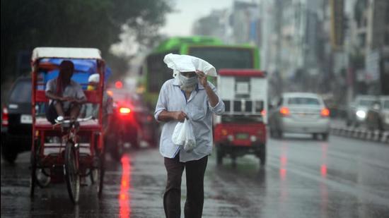
Under the influence of a Western Disturbance, along with isolated rain over plains, heavy rainfall is also very likely over Uttarakhand on May 5 and 6 and over Himachal Pradesh on May 6.
An east-west trough (line of low pressure) is running from Punjab to Assam at lower levels. This east-west trough is very likely to persist during the next 3-4 days. There is a trough (line of low pressure) in westerlies also.
Under their influence, fairly widespread to widespread rainfall/thunderstorm activity is very likely over northeastern states and West Bengal, Sikkim; and scattered rain or thundershower likely over the rest parts of east India during the next 4-5 days. Isolated heavy rainfall is also likely over Arunachal Pradesh during May 6 to 9, Assam & Meghalaya during May 5 to 9 and Nagaland, Manipur, Mizoram & Tripura during 7 to 9; sub Himalayan West Bengal & Sikkim from May 5 to 8; Thunderstorm and lightning activity accompanied with gusty winds are also likely over most parts of the above regions during next 4-5 days.
Under the influence of a cyclonic circulation over north interior Karnataka and a north-south trough over south Peninsula at lower levels, light or moderate scattered to fairly widespread rain or thunder is very likely over Kerala & Mahe, Lakshadweep and Coastal and south Interior Karnataka; and isolated rain or thundershower over the rest of south Peninsular India during the next 5 days.


