
 E-Paper



Now, PMC will keep a check on illegal construction through satellite imagery
The state government had recently asked all the civic bodies in Maharashtra, under the Maharashtra Regional and Town Planning Act, 1966, to obtain satellite imaging of areas under them so as to analyse and prevent illegal constructions and encroachments happening in the fringe areas of the city.


With a view to keep a check on illegal constructions and encroachments in the fringe areas of the city, the Pune Municipal Corporation (PMC) has decided to get satellite images of all its surrounding areas.
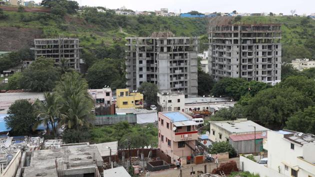
The state government had recently asked all the civic bodies in Maharashtra, under the Maharashtra Regional and Town Planning Act, 1966, to obtain satellite imaging of areas under them so as to analyse and prevent illegal constructions and encroachments happening in the fringe areas of the city.
The standing committee chairman Murlidhar Mohol said that the planning authorities have been asked to obtain satellite imagery of 0.5m resolution of their areas from a certified agency based in Hyderabad. Once the satellite imagery is obtained, then, accordingly a detailed base map of that region would be made.
According to officials, the PMC has communicated to the National Remote Sensing Centre (NRSC) at Hyderabad regarding satellite imagery of Pune city limits and the adjoining 34 villages which cover 586 square kilometre of area.
The officials informed that for this, NRSC has given a quotation of ₹7,07,085. This total amount will be paid by a demand draft in advance to NRSC.
He further stated that these base maps will be analysed as per the sanctioned constructions and projects in that area.
"These satellite images will be updated every six months to check if there are any new illegal construction or encroachment in these areas," said Mohol.
A provision for the same has been made in the budget, informed the officials.


