
 E-Paper



Trump administration calls for halt on satellite images amid US-Iran war: Report
Following this order, Planet Labs PBC has begun restricting access to data from the region.

 Prefer HTon Google


As the US-Iran war rages on, the Trump administration has reportedly called for a halt to satellite images from Iran. According to a Bloomberg report, the US government has called on satellite imagery providers to withhold images of designated areas of interest.
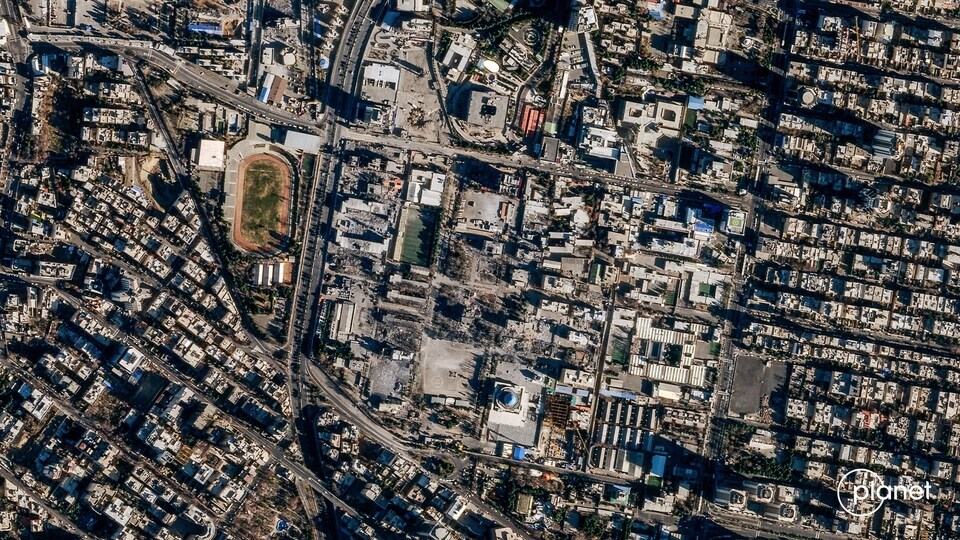
Following this order, Planet Labs PBC has begun restricting access to data from the region.
“These are extraordinary circumstances, and we are doing all we can to balance the needs of all our stakeholders. We will continue to monitor the situation and make adjustments as possible to minimise the impact on data availability to our customers," the company said in a statement as per Bloomberg.
A comment from the Pentagon and the US government regarding the same is awaited.
Also Read | 'Open the f-ing strait': Trump's 'living in hell' warning 24 hours before April 6 deadline
Along with Planet Labs, Maxar Technologies, Vantor, Airbus Defence and Space, and BlackSky, these are among the key companies that provide satellite imagery.
Following this order from the Trump administration, the company is now moving to a "managed access" model for its satellite images.
Under this, the publication of new images received from the site is delayed. Furthermore, images will be released only on a case-by-case basis, even for "urgent, mission-critical requirements."
Restriction of image sharing not new
In March, The Washington Post reported that both Planet Labs and Vantor will restrict access to satellite images of the Middle East due to the ongoing conflict with Iran.
In response, Planet Labs stated that the decision was made internally by the company, not due to a government directive.
Meanwhile, Vantor stated that it will restrict the release of images to “prevent misuse of sensitive geospatial intelligence.”
"These controls can include limiting who is able to task new imagery or purchase historical imagery over areas where U.S., NATO, and other allied and partner forces are actively operating, as well as over areas that are being actively targeted by adversaries,” Tomi Maxted, a spokesperson for the company, told The Washington Post.
In the wake of the US-Israeli war on Iran, a major problem that has surfaced is fake satellite imagery and images modified with artificial intelligence.
One such instance was when the Iranian newspaper Tehran Times made a post on the social media platform X, showing damage caused to an American radar system in Qatar during an Iranian drone strike.
However, it later turned out the image had been altered by AI. The true image was of a site in Bahrain.


