
 E-Paper


‘Cloud cover’: How NASA is helping search and rescue efforts in flood-hit Texas from the skies
NASA is sharing data directly with emergency teams to aid search and rescue, and support decision-making and resource allocation during flood recovery efforts.

 Prefer HTon Google


NASA has mobilised two specialised aircraft to support flood recovery efforts in Kerrville, Texas, providing aerial data to assist state and local authorities with damage assessment and emergency response.
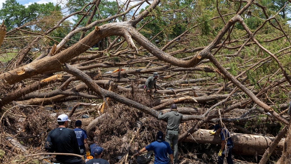
The aircraft are part of NASA’s Disasters Response Coordination System, which was activated to support emergency operations following the flooding and is working in coordination with the Texas Division of Emergency Management, the Federal Emergency Management Agency (FEMA), and humanitarian groups Save the Children and GiveDirectly.
“Persistent cloud cover has made it difficult to obtain clear satellite imagery, so the Disasters Program coordinated with NASA’s Airborne Science Program at NASA’s Johnson Space Flight Center in Houston to conduct a series of flights to gather observations of the impacted regions,” the US space agency said in a statement.
NASA said it is sharing the data directly with emergency response teams to support search and rescue efforts, and to assist in decision-making and resource allocation.
Fitted with the advanced DyNAMITE sensor, NASA’s high-altitude WB-57 aircraft began aerial surveys of flood-hit regions on July 8 after departing from Ellington Field.
The sensor captures high-resolution imagery of the Guadalupe River and surrounding areas, providing critical data to assess damage and coordinate ground recovery efforts. The system enables real-time data collection and analysis, enhancing situational awareness and accelerating emergency response.
NASA radar maps flood extent
In addition, NASA’s Uninhabited Aerial Vehicle Synthetic Aperture Radar (UAVSAR) is flying from the agency’s Armstrong Flight Research Center in Edwards, California, aboard a Gulfstream III.
Operated by the Jet Propulsion Laboratory in Southern California, the UAVSAR team is scheduled to collect data over the Guadalupe, San Gabriel, and Colorado river basins between Wednesday and Friday.
Capable of penetrating vegetation to detect water that optical sensors may miss, the system is being used to map the extent of flooding and evaluate damage within affected communities.
“Flights are being coordinated with FEMA, the Texas Division of Emergency Management, and local responders to ensure data is quickly delivered to those making decisions on the ground. Imagery collected will be sent to NASA’s Disaster Response Coordination System,” the statement reads.


