A tornado warning has been issued for Melbourne and other parts of Brevard County, Florida. The warning is in effect until 6:15 p.m. EDT Saturday.
What does the latest radar say?
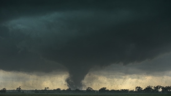
There have been no confirmed reports of a tornado on the ground in the area so far. However, according to the National Weather Service (NWS), a severe thunderstorm capable of producing a tornado was located near Suntree, about 7 miles north of Camp Holly Fish Camp, and was moving southeast at 15 mph.
Meteorologist Eric Burris wrote on X that radar was showing rotation near Camp Holly Fish Camp, moving south at 15 mph. He said the storm could reach West Melbourne around 6 p.m. and Palm Bay around 6:10 p.m., with June Park also in its projected path.
"Heads up if you're in those spots right now,” Burris warned.
Also Read: Fayetteville, NC weather radar: Hail, power outages reported amid tornado warning; videos emerge
What did the NWS alert say?
{{/usCountry}}Also Read: Fayetteville, NC weather radar: Hail, power outages reported amid tornado warning; videos emerge
What did the NWS alert say?
{{/usCountry}}At 5:54 p.m. EDT, the NWS said a severe thunderstorm capable of producing a tornado was located near Camp Holly Fish Camp and moving south at 15 mph.
Hazard: Tornado
Source: Radar-indicated rotation
Impact: Flying debris could be dangerous to people caught without shelter. Mobile homes could be damaged or destroyed, while roofs, windows and vehicles could also sustain damage. Tree damage is likely.
The NWS said the dangerous storm would be near:
Camp Holly Fish Camp and West Melbourne around 6 p.m. EDT
Palm Bay around 6:10 p.m. EDT
June Park and other nearby locations
The NWS urged residents in the warning area to take cover immediately.
“Move to an interior room on the lowest floor of a sturdy building. Avoid windows. If you are outdoors, in a mobile home, or in a vehicle, move to the closest substantial shelter and protect yourself from flying debris,” NWS warned.
The warning was issued by the National Weather Service office in Melbourne, Florida, for Brevard County.